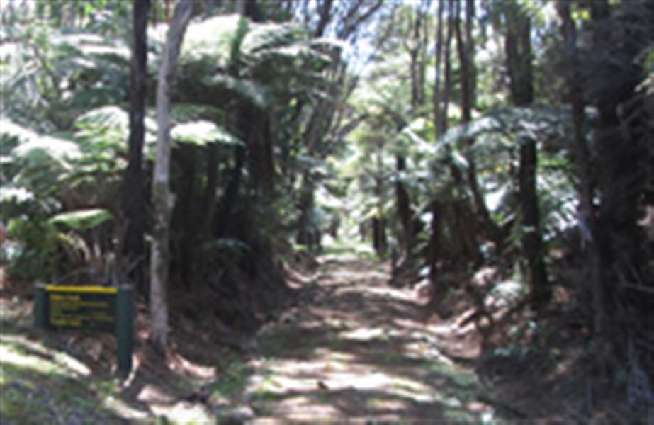
Whangaparapara: Tramline and Withey Tracks
Alerts
NIWA weather risks
NIWA's Parks Weather site lists daily weather risks for the forecast point below.
Sorry, we can't show NIWA weather or alerts on this site. NIWA doesn't permit paid apps to do this.
Forecast point: Mt Heale Hut (400m) · 2.9km away
Check the DOC website for current alerts and conditions before you go. This site gets current alert info from DOC, but is not an official source of information.
Combine these tracks with Forest Road for a circuit walk from Whangaparapara.
Elevation
Cover mapped summer 2023/24.
Description
Tramline Track
Time: 6 hr one way
The Tramline Track, which extends about 8 km from Whangaparapara to Aotea Road, traverses most of the island at its widest point. The Whangaparapara end of the track progresses over several bridges up to Forest Road (1 hour).
Withey's Track
Time: 1 hr 30 min one way
The track is named after Bill Withey, a steam hauler operator for the Kauri Timber Company. Withey’s Track links to Forest Road, Tramline Track forming a round hike from Whangaparapara. Branching off Tramline Track, it climbs steadily before dropping to Wairahi Stream, crossing three times (no bridges) before linking with Forest Road. Beautiful bush and stream views.
The Pack Track is permanently closed.
Getting there
Start on the Tramline Track on Whangaparapara Road.
Nearby
Weather
Forecast at the start of the track