Watkin Powell Track
Alerts
Check the DOC website for current alerts and conditions before you go. This site gets current alert info from DOC, but is not an official source of information.
This easy short track from Otamure Bay campsite leads to a sandy, secluded beach at Tauwhara Bay. Suitable for children.
Elevation
Cover mapped summer 2023/24.
Description
Once you enter the reserve, the high standard, short track winds its way up through established bush of puriri, cabbage trees and manuka.
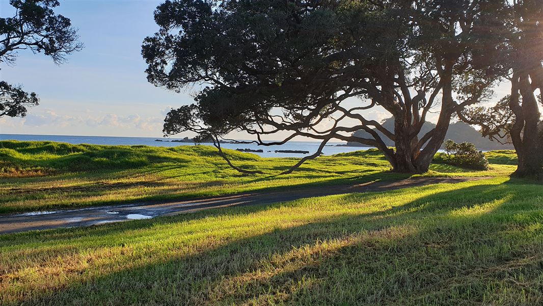
After a short walk, you reach the top of a hill. From here, the track zigzags its way through flax and a number of very large pohutukawa trees down to the lovely Tauwhara Bay.
Getting there
The small town of Whananaki is situated on the east coast 45 minutes drive north from Whangārei.
The track is located at the northern end of Otamure Bay campground, just past the one-way bridge on Rockell Road 3 km north of Whananaki North.
Nearby
Weather
Forecast at the start of the track