Mahoenui Track
Alerts
Check the DOC website for current alerts and conditions before you go. This site gets current alert info from DOC, but is not an official source of information.
Walk alongside the Awakino River to Leitch's Hut.
Elevation
Cover mapped summer 2023/24.
Description
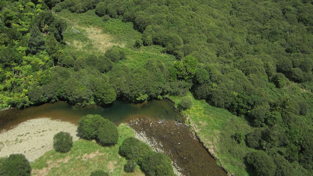
From Chris and Jan Barker's farm on Gribbon Road, this pleasant track follows the Awakino River upstream to Leitch's Hut.
Park at the cattle yards of this working farm (ensure your vehicle is parked clear of gateways). From there, follow markers through the farm to public conservation land. The track mainly follows the river north to the junction with the Waikawau Track. Cross to the east bank of the Awakino River and walk north for 5 minutes to the hut.
Getting there
Gribbon Road is on the right, 22 km south of Piopio off SH3. Car parking and the start of the track is at the end of the road. Gribbon Road (10 km) has a gravel surface.
Know before you go
In winter and periods of heavy rain the river may be too deep to cross. Check the weather forecast before walking this track.
Keep to the tracks to prevent the spread of chytrid fungus that affects the endangered Archey's frog.
Maps: Use NZTopo50 BF31 (Marokopa ) and BF32 (Piopio)
Nearby
Weather
Forecast at the start of the track