Waikawau Track
Alerts
Check the DOC website for current alerts and conditions before you go. This site gets current alert info from DOC, but is not an official source of information.
This route for intrepid trampers is the longest track to Leitch's Hut.
Elevation
Cover mapped summer 2023/24.
Description
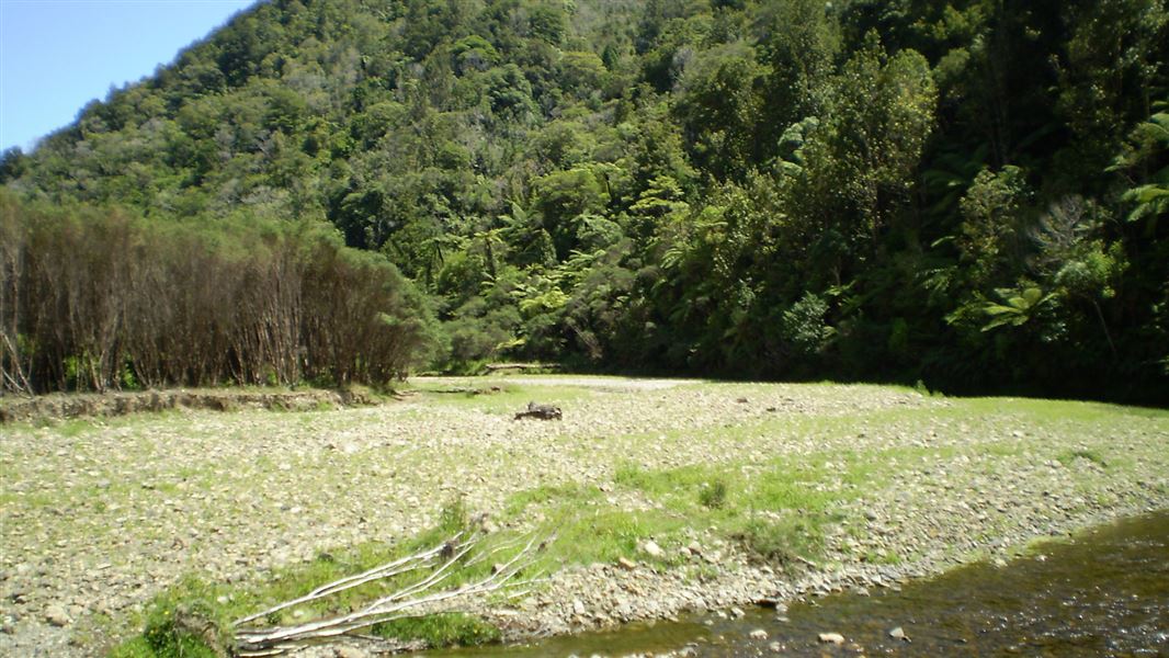
Follow the markers along the Waikawau and Mangapapa Rivers. This is a gradual climb with several river crossings. Continue up to the Waikawau Saddle and then descend to Leitch's Clearing. Follow the clearing down to the Awakino River, cross it and walk north along the river for 5 minutes to Leitch's Hut.
Getting there
From the western side, access from Mangatoa Saddle Track, which connects to Mangatoa Saddle Road. From the eastern, access from Leitch’s Track which can be reached from Leitch Road.
Know before you go
This track has overgrown vegetation, windfalls, slips and loss of marking in places. Trampers are advised to take extreme care.
In winter and periods of heavy rain the rivers may be too deep to cross. Check the weather forecast before walking this track.
Keep to the tracks to prevent the spread of chytrid fungus that affects the endangered Archey's frog.
Illegal poisons were found around this track in 2020 and dog permits were suspended. There has been no evidence of poison since then, and dog permits are available. But visitors should remain vigilant and report any suspicious acticity to the local office.
Maps: Use NZTopo50 BF31 (Marokopa ) and BF32 (Piopio)
Weather
Forecast at the start of the track