DOC track
Glencoe Walking Track
329mEasy
Alerts
Notice
Check the DOC website for current alerts and conditions before you go. This site gets current alert info from DOC, but is not an official source of information.
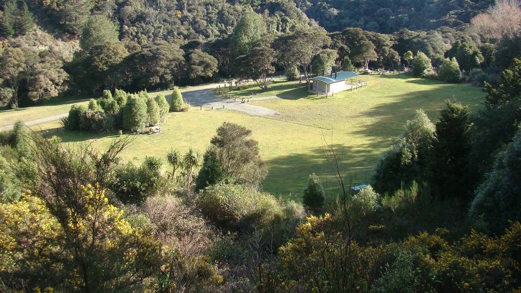
Short walk providing access to the Waianakarua River North Branch, at Glencoe Conservation Campsite.
Elevation
Climb
18m
Drop
18m
Highest point
83m
Lowest point
58m
Move over the chart to read the height.
Forest
Longest open stretch
None
Cover mapped summer 2023/24.
Description
Signposted from the camp, the track heads downhill to the river. Another entry point opposite the memorial rimu trees (on the camp access-road) leads to the same location.
Getting there
Off SH1 at Herbert, turn into Ord St, left at Monk St, then right into Glencoe Road. 2 km west of Herbert. Gravel road access.
Nearby
Weather
Forecast at the start of the track