Whenuakite Kauri Loop Walk
Alerts
NIWA weather risks
NIWA's Parks Weather site lists daily weather risks for the forecast point below.
Sorry, we can't show NIWA weather or alerts on this site. NIWA doesn't permit paid apps to do this.
Forecast point: Cathedral Cove (86m) · 13.1km away
Check the DOC website for current alerts and conditions before you go. This site gets current alert info from DOC, but is not an official source of information.
A one hour-return walk that takes you through a remnant kauri stand.
Elevation
Cover mapped summer 2023/24.
Description
After passing through the footwear cleaning station, follow a well-formed track through regenerating native forest. The track descends via a series of steps to a bridged crossing over the Manuka Stream.
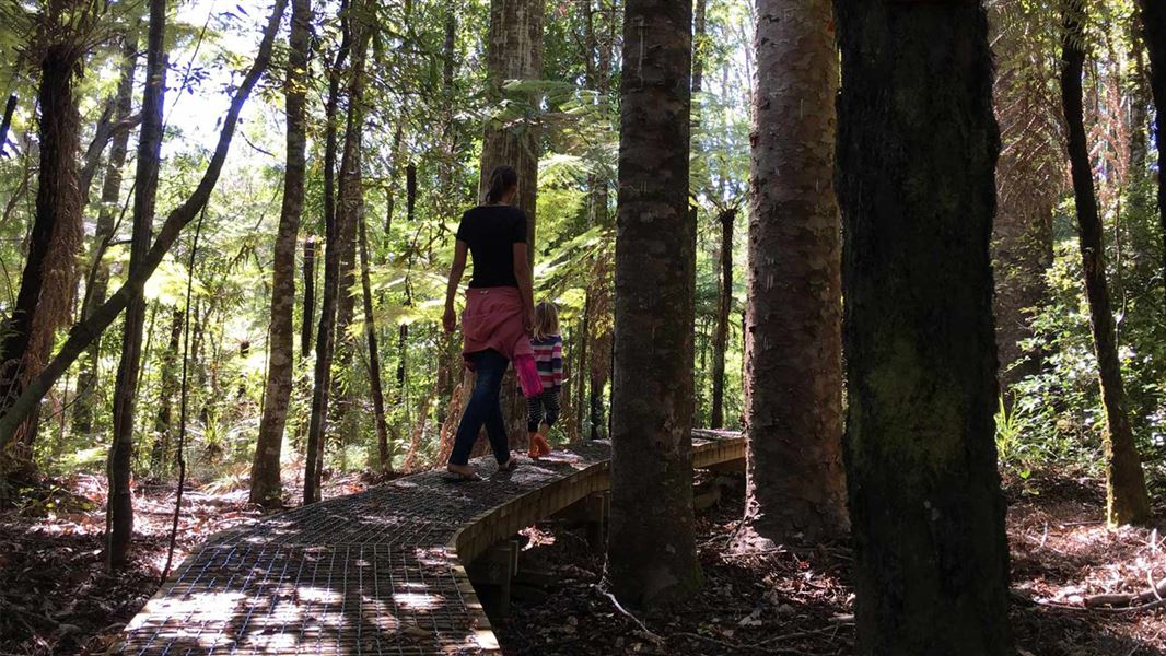
From there, a short climb leads to a boardwalk loop through a remnant stand of kauri trees. Once you’ve completed the loop, retrace your steps back to the car park.
Protect kiwi
As Whenuakite is home to a population of brown kiwi - dogs are not permitted.
Getting there
Located on state highway 25, approximately 8 km north of Tairua.
There is a sign-posted carpark on the side of the road at the track entrance.
Weather
Forecast at the start of the track