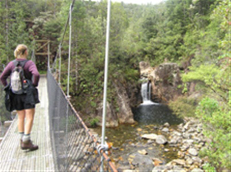
Wharekirauponga Track
Alerts
NIWA weather risks
NIWA's Parks Weather site lists daily weather risks for the forecast point below.
Sorry, we can't show NIWA weather or alerts on this site. NIWA doesn't permit paid apps to do this.
Forecast point: Karangahake Gorge (40m) · 16.7km away
Check the DOC website for current alerts and conditions before you go. This site gets current alert info from DOC, but is not an official source of information.
The Wharekirauponga Track in Parakiwai Valley and the Royal Standard Goldmine area follows along an old horse-drawn tram track.
Elevation
Cover mapped summer 2023/24.
Description
This track is an old horse-drawn tram track. It passes unusual andesitic rock formations en route to the old camp and battery site for the Royal Standard Goldmine.
Beyond the battery site and tunnel are the Wharekirauponga Falls.
Getting there
The track starts at the end of Parakiwai Quarry Road, 2 km south of the Wentworth Valley near Whangamata.
Weather
Forecast at the start of the track