Whangaparapara: Te Ahumata Track
Alerts
NIWA weather risks
NIWA's Parks Weather site lists daily weather risks for the forecast point below.
Sorry, we can't show NIWA weather or alerts on this site. NIWA doesn't permit paid apps to do this.
Forecast point: Mt Heale Hut (400m) · 5.2km away
Check the DOC website for current alerts and conditions before you go. This site gets current alert info from DOC, but is not an official source of information.
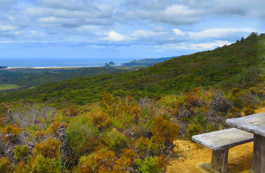
Discover interesting flora and panoramic views at the top of Te Ahumata (398 m).
Elevation
Cover mapped summer 2023/24.
Description
This track follows an old mining road between Whangaparapara and Blind Bay roads.
From either end a 30-minute gradual climb leads to a junction, where a branch track (a further 30 minutes) leads to the summit covered with wind-shorn, bonsai-like native plants and numerous orchid species. There are panoramic views in every direction.
The main track is administered by Auckland Council and the branch track by the Department of Conservation.
Getting there
Start this track from Whangaparapapa Road or Blind Bay Road.
Weather
Forecast at the start of the track