Whangamumu Track
Alerts
Check the DOC website for current alerts and conditions before you go. This site gets current alert info from DOC, but is not an official source of information.
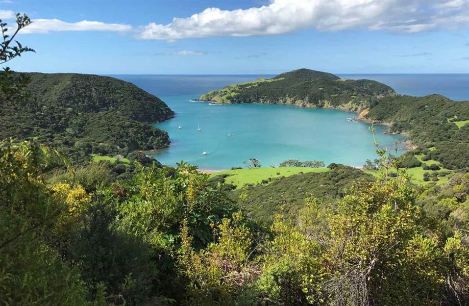
Go for an easy forest and beach walk to Whangamumu Harbour.
Elevation
Cover mapped summer 2023/24.
Description
Come for a walk along a path that whalers used to take in the early 20th century to one of New Zealand’s last remaining shore-based whaling stations.
This track is a comfortable walk starting at the Tangatapu wetlands through regenerating coastal forest up and over a ridge to the sandy beach at the head of the Whangamumu Harbour. Interpretation signs explain the historic features of the area. The track is not suitable for mountain biking.
Once at Whangamumu Harbour turn left along the beach and take the short 10-minute track to the historic Whangamumu Whaling Station. This track can be walked up 1-2 hours either side of high tide; at other tide times this short section of beach track is closed to walkers.
Camping is not permitted. Te Toroa Track links Whangamumu Track to Cape Brett Track
Getting there
Access to the Whangamumu Track is from Rawhiti Road, 1.1 km from the Manawaora Road and Rawhiti Road intersection.
From Russell, take the Russell-Whakapara Road for 13.8 km and turning off at Kempthorne Road. Follow the road through Parekura Bay, continuing on to Manawaora Road. At the top of the road, turn left onto Rawhiti Road.
From Whangarei travel north turning off SH1 at Whakapara. Follow the Russell Road until you get to Rawhiti Road.
Closed tracks
Whangamumu Track links up with two other tracks – Kauri Grove and Te Toroa tracks. These two tracks are closed to help prevent the spread of kauri disease. These tracks are on private land owned by Rawhiti 3B2 Ahu Whenua Trust.
The track from Oke Bay to Cape Brett is still open.
Know before you go
Protect our kauri
Stay on the track at all times and clean your footwear using the hygiene station at the track entrance. This will reduce the chance of spreading kauri disease.
Access advice
- This track is open 1 December until the Easter holiday.
- Track crosses private land for the first 15 minutes of the walk so remain near the DOC track markers.
- Mountain biking is not permitted on this track.
- No fires due to risks to wildlife.
- No camping.
- No hunting.
- No unauthorised horses or vehicles of any type.
Safety and security
- Check the tide timetable before leaving to ensure you can walk across the beach to the historic Whangamumu Whaling Station.
- Before leaving for your walk, make sure your vehicle is locked and any valuables out of sight.
History and culture
The harbour was where one of New Zealand’s last shore-based whaling stations existed: the historic Whangamumu Whaling Station.
Weather
Forecast at the start of the track