Whakanui Track
Alerts
Check the DOC website for current alerts and conditions before you go. This site gets current alert info from DOC, but is not an official source of information.
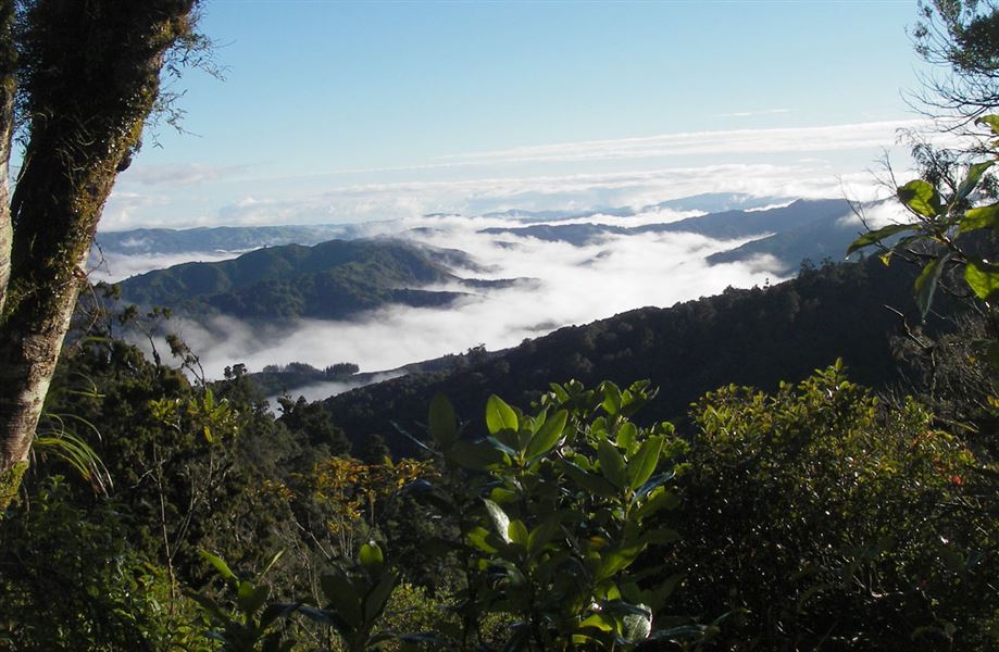
This track leads from Wainuiomata to the Ōrongorongo River and offers views of the Remutaka Range and surrounding areas.
Elevation
Cover mapped summer 2023/24.
Description
The Whakanui Track takes you from Wainuiomata through to the Ōrongorongo River in the Remutaka Forest Park. It can be walked as a return trip, or connected with the Big Bend Track or Mt McKerrow Track finishing at Catchpool carpark, or with Papatahi Crossing to finish in the Wairarapa.
The track begins from Hine Road/Sunny Grove in Wainuiomata. It then ascends up to a long flat ridge separating Whakanui Creek from Turere Stream. From there it continues on the true right side of Whakanui Creek to the end of the track.
The track passes through podocarp/broadleaf forest for most of its length. There are good views of the main Remutaka Range from the higher parts of the track – around 700 metres.
Getting there
The track starts at the end of Sunny Grove, off Hine Road. Hine Road is the last road on the left as you head out of Wainuiomata towards the coast.
Weather
Forecast at the start of the track