Wether Range tracks
Alerts
Check the DOC website for current alerts and conditions before you go. This site gets current alert info from DOC, but is not an official source of information.
The Wether Range tracks are found south of Omarama.
Elevation
Cover mapped summer 2023/24.
Description
Shortcut Road to Wether Range Conservation Area
Track category: Tramping track
Time: 2 hr
Distance: 6.5 km
Follow a public access easement through private farmland along the fenceline boundary. Once in the conservation area, there is no formed track. A diverse selection of native scrub covers the flats near Manuka Creek which runs through here.
Turn off SH8 into Shortcut Road, 12 km south of Omarama. A sign along Shortcut Road shows the start of the track.
Native scrub in Wether Range Conservation Area
SH8 to Wether Range Conservation Area
Track category: Route
Time: 1.5 hr
Distance: 3 km
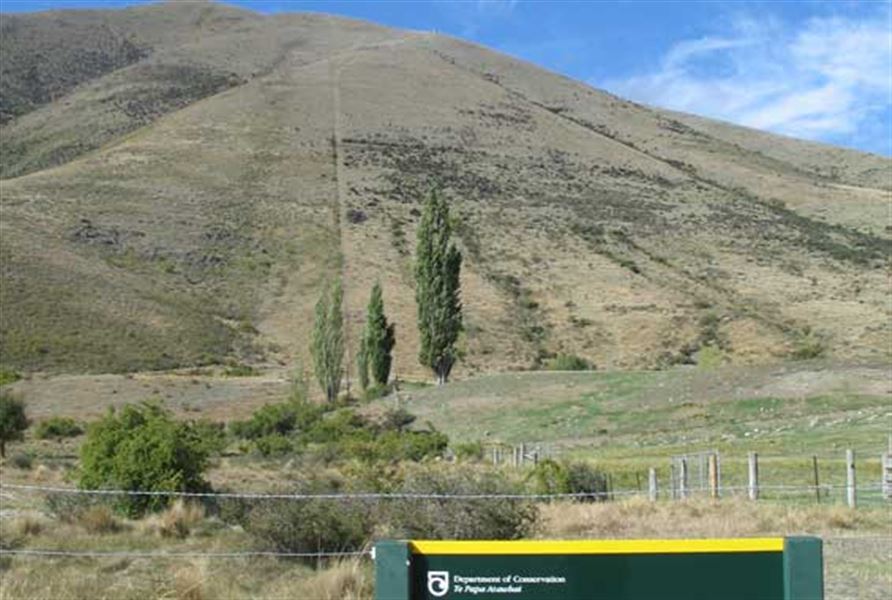
There is no formed track but follow the DOC markers on the steep fenceline boundary to the conservation area. This is a public access easement through private farmland.
This route is signposted off SH8, 16 km south of Omarama.
Access route along the fenceline (centre) to Wether Range Conservation Area
Getting there
These access points are off SH8, 12 and 16 km south of Omarama.
Know before you go
Map: NZTopo50 CA14 Lindis Pass
Weather
Forecast at the start of the track