Waitawheta Tramway
Alerts
NIWA weather risks
NIWA's Parks Weather site lists daily weather risks for the forecast point below.
Sorry, we can't show NIWA weather or alerts on this site. NIWA doesn't permit paid apps to do this.
Forecast point: Waitawheta Hut (380m)
Check the DOC website for current alerts and conditions before you go. This site gets current alert info from DOC, but is not an official source of information.
Follow an old tramline (1898 - 1928) on a relatively flat track through the spectacular Waitawheta Gorge - with interpretation panels as well, it's a great option for kids.
Elevation
Cover mapped summer 2023/24.
Description
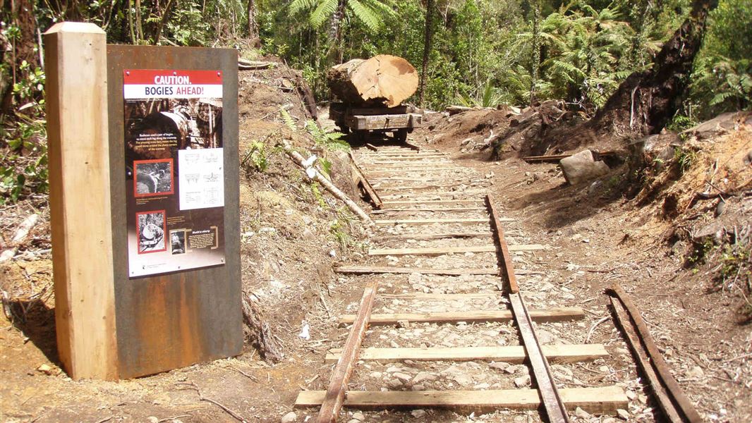
Follow the Waitawheta Tramway, stopping at the various information signs to find out when, why and how the tramway was built. The tramway is relatively flat, and nice and wide. After about an hour and a half the track crosses a large suspension bridge to the site of a replica logging bogie (a tram cart that carried the massive logs). This is a great spot for lunch and to spend time taking photographs.
A short loop track near to the logging bogie offers a detour to the site of an electricity pylon dating from around the year 1900. To complete a shorter, easier trip, return from the logging bogie back down the tramway to the car park.
Alternatively, continue south along the tramline through the spectacular Waitawheta Gorge. The main track requires one river crossing but there is a bypass track that requires just a few small side stream crossings. The main track then leaves the river and through a campsite before reaching the toilet bowl waterfall, the Waitawheta Hut, and the site of the old logging mill. Return via the same track, or spend the night to explore more of the park.
Family friendly option
A shorter walk with no river crossings can be taken, just over an hour up the tramway to the site of a replica logging bogie which shows how kauri were transported down the valley. This trip takes in the lower tramway with information boards explaining the story of kauri logging here, before returning the same way to the car park. Suitable for older children.
Getting there
The start of the track is about 11 km from Waihi.
In Waihi, turn off SH 2 onto Kenny Street. Turn right into Victoria Street and follow this as it becomes Frankton Road, then Waitawheta Road. After about 9 km, turn off Waitawheta Road into Franklin Road. Take care as this is private property. Follow this to the parking area at the end.
Know before you go
This track should not be attempted when heavy rain is forecast from the north to south east direction.
The bypass track requires crossing a few small side streams that could flood high enough to be hazardous in an extreme rain event.
No mountain biking
Mountain biking is not allowed on this track.
History and culture
Waitawheta is one of the most spectacular bush tramways ever built. A relatively lengthy (14 km) section survives in near pristine condition.
This busy tramway operated from 1898 to 1928 and involved three companies; the Waihi Gold Mining Co, the Kauri Timber Co, and the Waitawheta Sawmilling Co. The motive power included horses, geared steam, and rail tractors. The route featured spectacular viaducts and rock cuttings.
Waitawheta Hut is located on the site of the Waitawheta Sawmilling Co. cookhouse.
Nearby
Weather
Forecast at the start of the track