Waitangitāhuna Wetland Walk
Alerts
Check the DOC website for current alerts and conditions before you go. This site gets current alert info from DOC, but is not an official source of information.
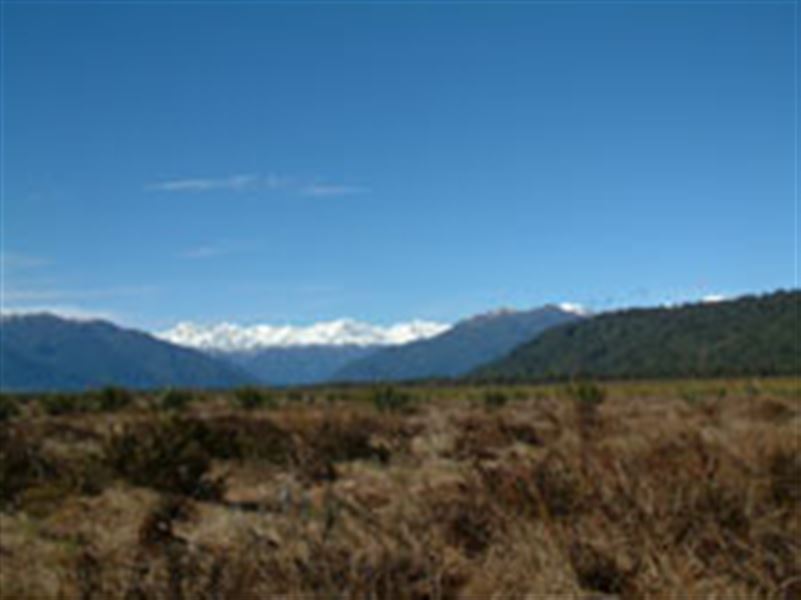
The Waitangitāhuna Wetland Walk is an easy walk through a regenerating kahikatea forest and flax wetland to a viewing platform with spectacular views of the Southern Alps, Kā Tiritiri o te Moana.
Elevation
Cover mapped summer 2023/24.
Description
The Waitangitāhuna Wetland Walk is best walked on a good day, when the viewing platforms provide visitors with spectacular views of the Southern Alps Kā Tiritiri o te Moana and the wider wetland area.
Getting there
From Whataroa, follow Whataroa Flat Road for approximately 9 km. Then turn left and follow a gravel road over the Waitangitāhuna River to the start of the track, opposite White Heron Tours Jetty.
Weather
Forecast at the start of the track