Waitaia Track
Alerts
NIWA weather risks
NIWA's Parks Weather site lists daily weather risks for the forecast point below.
Sorry, we can't show NIWA weather or alerts on this site. NIWA doesn't permit paid apps to do this.
Forecast point: Cathedral Cove (86m) · 11.2km away
Check the DOC website for current alerts and conditions before you go. This site gets current alert info from DOC, but is not an official source of information.
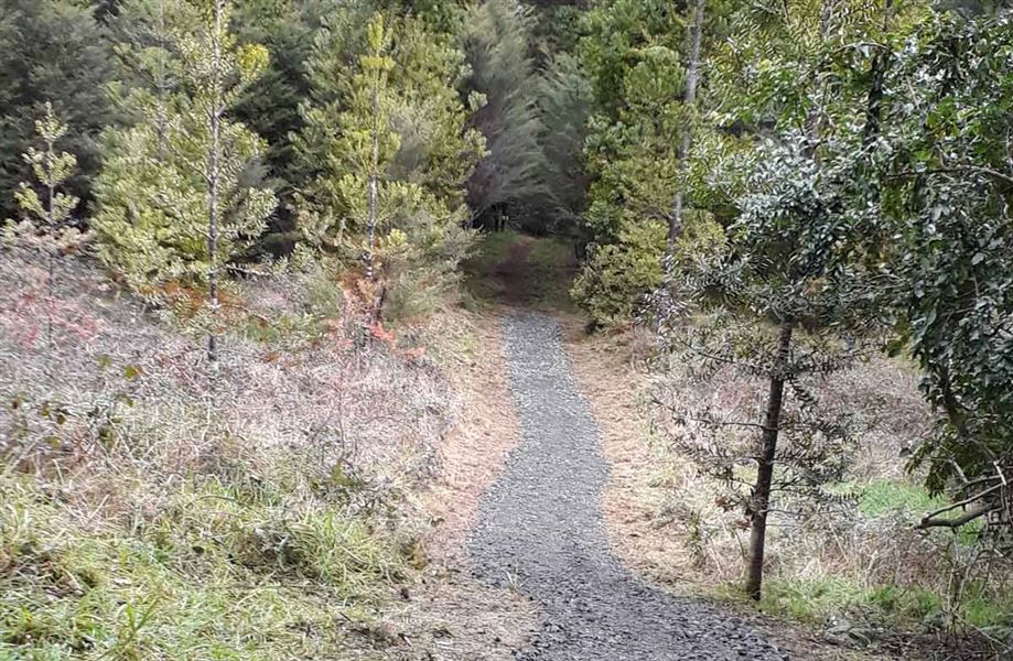
Once extensively logged and mined, a regenerating coastal forest now greets visitors as they walk along the Waitaia Track.
Elevation
Cover mapped summer 2023/24.
Description
The track crosses private land before branching into a loop track of easy gradient. It passes through regenerating coastal forest, with kanuka, treeferns, nikau, tanekaha, kauri, puriri and hard beech.
Picnic tables and seats provide convenient stopping places.
There are a number of old mining tunnels and several small stream crossings (some are bridged).
Getting there
Off Waitaia Road, 1 km south of Kūaotunu on the Coromandel Peninsula.
Know before you go
Keep to the track to avoid dangerous mine shafts in the area.
History and culture
The area was extensively logged and mined in the past. It is now part of the Project Kiwi Kuaotunu Kiwi Sanctuary.
Weather
Forecast at the start of the track