Wairau Lagoons Walkway
Alerts
Check the DOC website for current alerts and conditions before you go. This site gets current alert info from DOC, but is not an official source of information.
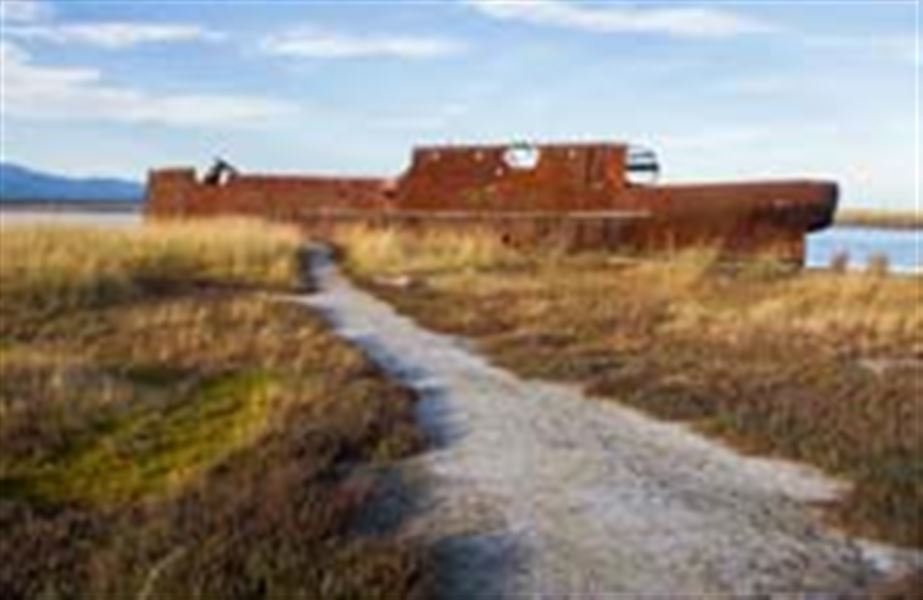
This flat loop track, ideal for kids, follows the lagoon shoreline with good bird watching to the rusting remains of the Waverley ship.
Elevation
Cover mapped summer 2023/24.
Description
This walk gives an insight into the lagoons and the habitat they provide. The walk is virtually flat. It makes a loop from the carpark along the shoreline of the upper lagoon and past Budges and Moerepo Islands to the lagoons' main channel where the rusting hulk of the Waverley sits in the mud.
The Waverley was towed from Wellington by the SS Wairau to the mouth of the Wairau River where she was to be sunk to form a breakwater. Before being scuttled, she was swept up the channel in a flood to where she now lies, in the Wairau Lagoons.
Return either the same way or, more directly, across the saltmarsh area, with its salt resistant plants. Alternatively, it is possible to continue beyond the Waverley for a view of the river.
Getting there
The main access point is from the end of Hardings Road, which leaves State Highway 1, 5 km south of Blenheim. There is a carpark and information.
Know before you go
- Hot, dry conditions and strong, cold winds are common in this area.
- Open fires are not permitted at any of the East Coast reserves and only portable stoves should be used for cooking.
- Watch out for wasps, especially in late summer and autumn.
Nature and conservation
The Wairau lagoons have formed over the last 6,500 years behind a 8 km-long boulder bank created from gravel and stones washed up the coast by sea currents. Water from the surrounding hills gathers behind the boulder bank and combines with the tide flushing in and out each day.
Specialised plants and animals have colonised habitats between the high and low water marks, some of which are more 'productive' than the best pasture.
There are plenty of birds to see here – a bird book and pair of binoculars would be a useful addition to your equipment.
History and culture
The productivity of the Wairau lagoons drew Maori to hunt for food. It is thought that some of the channels have been made or extended to help trap moulting birds or eels.
Evidence from the boulder bank confirms some very early camps were made there and where the now-extinct moa were hunted and eaten.
Weather
Forecast at the start of the track