Waipapa Loop Track
Alerts
Check the DOC website for current alerts and conditions before you go. This site gets current alert info from DOC, but is not an official source of information.
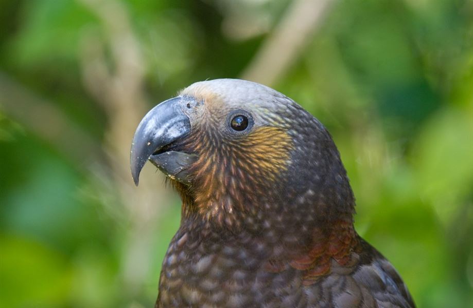
This short loop walk in the Waipapa ecological area takes you through tall podocarp with spectacular bird life.
Elevation
Cover mapped summer 2023/24.
Description
This track mostly passes through native bush but there is a small area about halfway round with views across the valley. There are numbered posts at points of interest along the walk that describe what you might see or hear at those points.
It can be completed in 30 minutes but allow an hour is you want to appreciate the special features of the area and spend time listening for birds. Allow an extra 10 minutes if the gate on Gully Road is locked and you walk from there.
The walk is accessible to people of most ages and fitness levels but is not suitable for wheelchairs or pushchairs.
Getting there
The track starts at the end of Gully Road, behind Pureora Forest Park Lodge. West of Barryville, turn off SH30 onto Waitaramoa Road, then into Gully Road.
Weather
Forecast at the start of the track