Waiotemarama Waterfall Walk
Alerts
Check the DOC website for current alerts and conditions before you go. This site gets current alert info from DOC, but is not an official source of information.
Walk to the beautiful Waiotemarama Waterfall which cascades 20 m down through the pristine rainforest.
Elevation
Cover mapped summer 2023/24.
Description
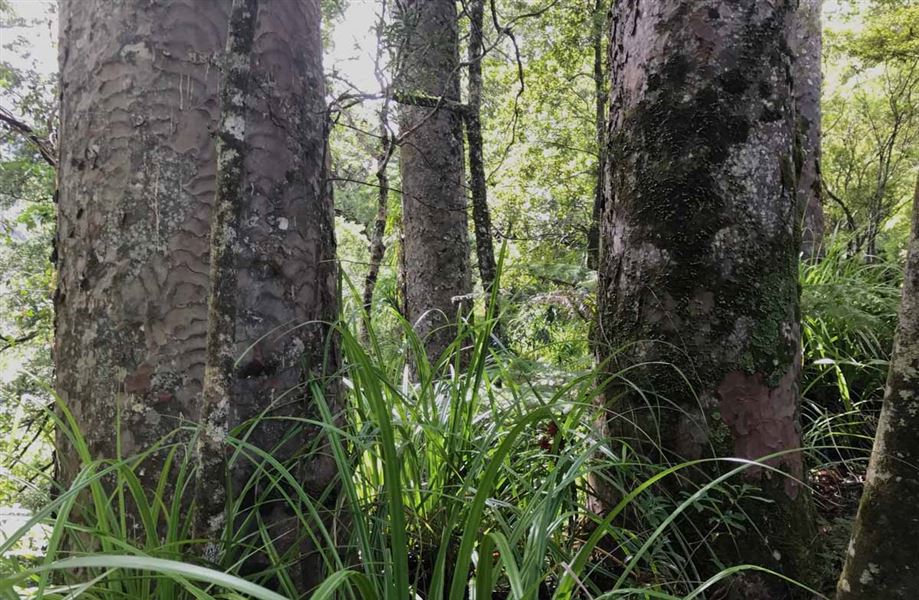
The track follows the Waiotemarama Stream up through a gorge to a waterfall. There are stunning views of the beautiful, 20-metre falls and the surrounding bush. The vegetation here is mainly tawa and taraire, and other assorted hardwoods.
At the waterfall the Hauturu Highpoint Track begins where the track crosses an unbridged stream. The track is rough in places and can be extremely slippery in wet weather.
Getting there
From the north: Follow SH12 towards Opononi. 4 km before Opononi turn left onto Waiotemarama Gorge Road. Follow it for 6 km to the start of the Waiotemarama Waterfall Walk (sign posted).
From the south: Follow SH12 towards Opononi. Pass through the town of Waimamaku, and 6 km before Opononi, turn right onto Waiotemarama Gorge Road. Follow the road for 4 km to the start of the Waiotemarama Waterfall Walk.
Know before you go
Check the weather forecast before you go − heavy rainfall an cause Waiotemarama Stream to flood rapidly.
Stay safe when crossing rivers and streams
If you plan to cross unbridged rivers or side streams, know how to cross safely and be prepared for if you cannot cross.
Do not cross if the river or stream is flooded, you cannot find safe entry and exit points or are unsure it’s safe. Turn back or wait for the river to drop. If in doubt, stay out.
NIWA river flow forecasts: View a video of national followed by regional river flows
Nature and conservation
The vegetation here is mainly tawa and taraire, and other assorted hardwoods.
Weather
Forecast at the start of the track