Tuhoto Ariki Trail
Alerts
Check the DOC website for current alerts and conditions before you go. This site gets current alert info from DOC, but is not an official source of information.
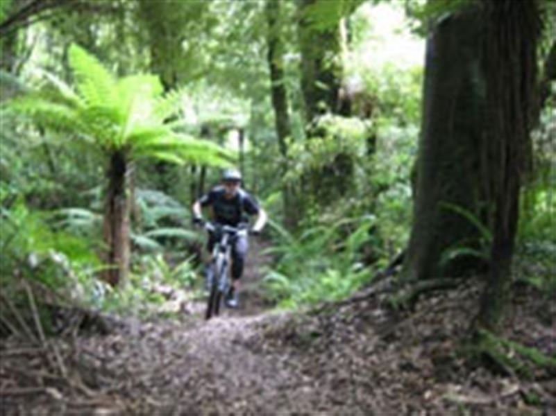
Specifically designed dual use trail through native bush with great downhills and some decent climbs for the mountain bikers. Starts from the highest point in Whakarewarewa Forest.
Elevation
Cover mapped summer 2023/24.
Description
This is a specifically designed dual use mountain biking/tramping trail through native bush that both riders and walkers can enjoy.
Built by the Rotorua Mountain Bike Club, Tuhoto Ariki starts at the highest point in the Whakarewarewa Forest, Tawa (765 m). It runs through the native forest of the Whakarewarewa State Forest Park providing surroundings not otherwise seen on the rest of the Whakarewarewa trail network.
The track is named after the respected and feared Tuhourangi tohunga (priest) that predicted the Mt Tarawera eruption.
Mountain biking
Tuhoto Ariki has some long downhill segments, but don't be fooled by the height gain at the start - this is a true cross country track with some technical climbs also.
This is a shared-use track. Follow the mountain bikers code: respect others, respect the rules, respect the track.
Getting there
Head south on SH5 from Rotorua city. 1 km from the city limit on the left you'll find the Waipa Mill, the entrance to the Whakarewarewa Forest.
Shuttles are available to the entrance of many trail starts.
To ride to the entrance from the Waipa Mill carpark, ride up the Waipa State Mill Rd which will turn into Hill Rd. Follow this for 5.5 km until Moerangi Rd appears on your right, 1 km on this and turn left onto Tawa Rd after 2.5 km you'll be at the highest point in the forest and at the start of the track.
Weather
Forecast at the start of the track