Tree Trunk Gorge tracks
Alerts
NIWA weather risks
NIWA's Parks Weather site lists daily weather risks for the forecast point below.
Sorry, we can't show NIWA weather or alerts on this site. NIWA doesn't permit paid apps to do this.
Forecast point: Waipakihi Hut (1100m) · 12km away
Check the DOC website for current alerts and conditions before you go. This site gets current alert info from DOC, but is not an official source of information.
Walk or mountain bike through the Kaimanawa Forest Park taking in two spectacular gorges, and the characteristic beech and kamahi forest.
Elevation
Cover mapped summer 2023/24.
Description
Tree Trunk Gorge Track
Time (one way): 1 hr 30 min walk; 1 hr mountain bike
Distance: 5 km
This track can be accessed from either the Urchin Campsite off Kaimanawa Road or from Tree Trunk Gorge Road. Either way it is generally well graded as it follows the line of an old road associated with the Tongariro Power Scheme.
Red beech surrounds the track for most of the way but close to the Tree Trunk Gorge end an open ridge provides good views out to Tongariro National Park.
This is a tramping track: there are several small streams to cross, and one larger one 15 minutes from the southern exit/entrance. Most are fairly easy to negotiate unless there has been recent heavy rain.
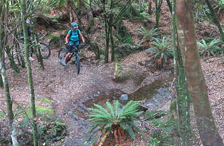
Popular mountain bike option: Tree Trunk Gorge - SH1 Loop Track
Time: 2 - 4 hr mountain bike
Distance: 17 km
This route is fairly well graded and can be ridden in either direction but is described here from the Tree Trunk Gorge road end. The first downhill can be slippery and at the bottom of the descent is a small river which can become impassable after rain but is generally rideable.
Carry on along the track to the Urchin Campsite, then follow the Urchin to Pillars of Hercules Track to reach the Pillars of Hercules suspension bridge. Cross the bridge and then take the well graded 4WD track out to SH1 (about 25 to 40 minutes).
From here it is a 2.5 km cycle up the highway, and another 4.5 km down Tree Trunk Gorge Road to the starting point.
Note: If you are not comfortable riding along the highway; organise a shuttle from Kaimanwa Road, or return to Tree Trunk Gorge Road via the same track once you reach the Pillars of Hercules.
Getting there
Tree Trunk Gorge Road is 23 km south of Tūrangi.
Know before you go
Walking, mountain biking and hunting are all popular in this area, be aware and considerate of other user groups.
These are shared-use tracks. Follow the mountain bikers code: respect others, respect the rules, respect the track.
Nearby
Weather
Forecast at the start of the track