DOC track
Tokatea Lookout Walking Track
317m30 minEasy
Alerts
Notice
Check the DOC website for current alerts and conditions before you go. This site gets current alert info from DOC, but is not an official source of information.
A short, steep track from the summit of Kennedy Bay Road, Coromandel Peninsula, leads to the Tokatea Lookout.
Elevation
Climb
70m
Drop
0m
Highest point
474m
Lowest point
403m
Move over the chart to read the height.
Scrub
Longest open stretch
317m
Cover mapped summer 2023/24.
Description
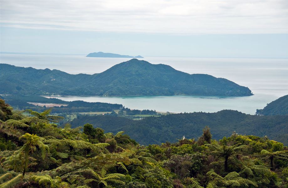
A short, steep track takes you to a lookout with views of the Coromandel landscape.
An on-site map of the area names many landmarks and offshore islands.
Getting there
At the summit of Kennedy Bay Rd.
Know before you go
Keep to the track as there are old mine shafts in the area.
History and culture
The site was used for marine surveillance during World War II. Site of the John H (Pop) Lucas memorial.
Weather
Forecast at the start of the track