Te Rēinga Scenic Reserve Walk
Alerts
Check the DOC website for current alerts and conditions before you go. This site gets current alert info from DOC, but is not an official source of information.
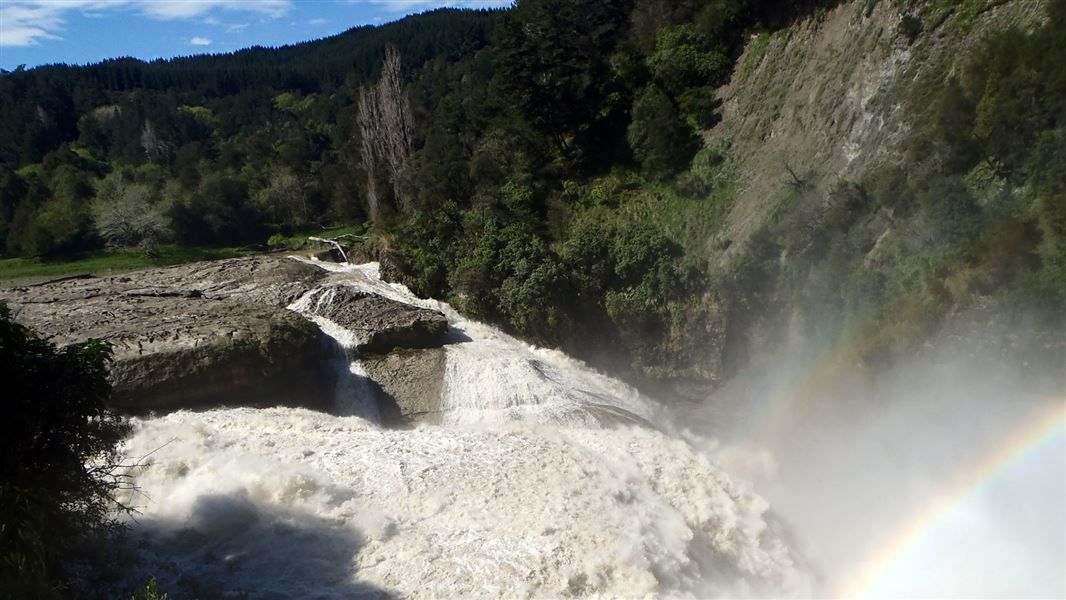
This short track takes you to lookout with views of the spectacular Te Rēinga Falls.
Elevation
Cover mapped summer 2023/24.
Description
From the carpark and picnic area, a short walk takes you to views of the spectacular Te Rēinga Falls (35 m). The falls are fed by the Hangaroa and Ruakituri Rivers that merge just above. Note, the viewing platform has been removed.
The best time to view the falls is during or after high rainfall.
Getting there
Located 35 km inland from Wairoa, just off SH36 (Tiniroto Road). Turn onto Ruakituri Road at Te Rēinga, cross the bridge over the river. The carpark is at the western end of the bridge.
Weather
Forecast at the start of the track