Te Kere Haka Track
Alerts
Check the DOC website for current alerts and conditions before you go. This site gets current alert info from DOC, but is not an official source of information.
The Te Kere Haka Track follows the shore of Lake Wakatipu.
Elevation
Cover mapped summer 2023/24.
Description
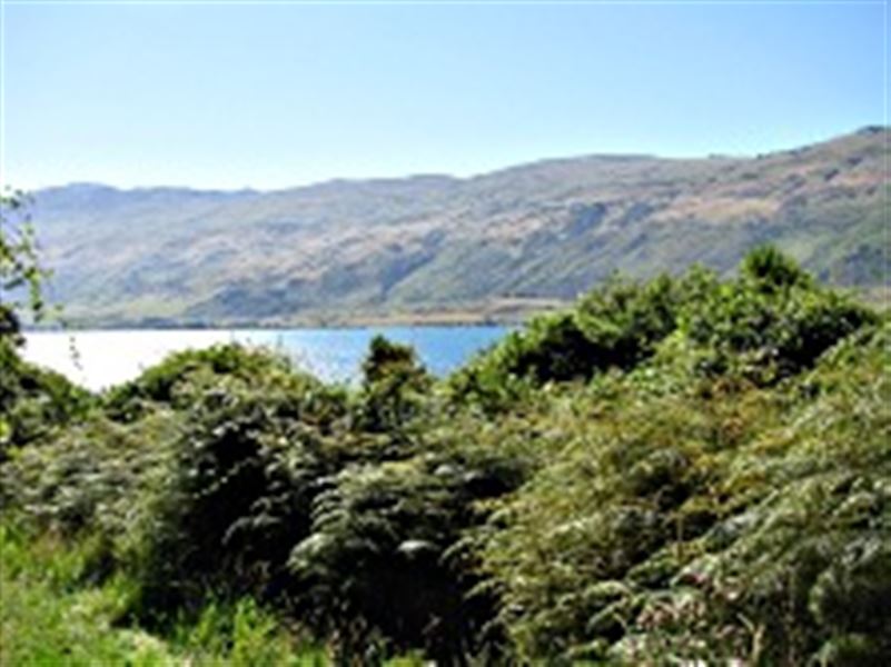
View from the Te Kere Haka Track in Kingston
The Te Kere Haka Track winds along the lake front from the Te Kere Haka Reserve, offering great views of Lake Wakatipu and the Hector Mountains.
The first 30 minutes of the track are within the reserve boundary.
Getting there
Kingston is 45 minutes drive south of Queenstown. The Te Kere Haka Reserve is at the far end of the township past the railway station.
Know before you go
The Te Kere Haka Track has stream crossings and may be wet and muddy in places.
Dogs are allowed within the reserve boundary but must be on a lead.
Weather
Forecast at the start of the track