Te Hapua Bay Track
Alerts
Check the DOC website for current alerts and conditions before you go. This site gets current alert info from DOC, but is not an official source of information.
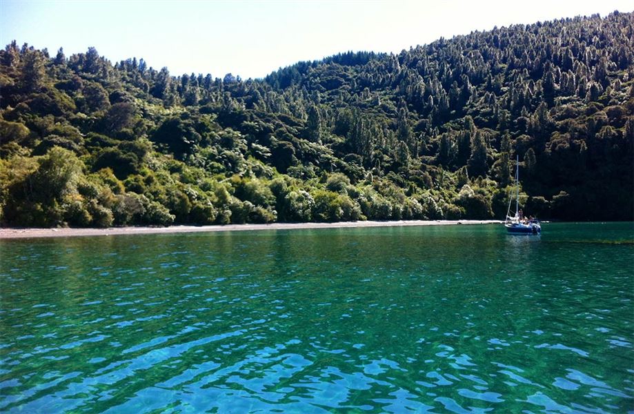
Located on the western shore of Lake Taupō, this track allows walking access to one of the most stunning bays on the lake.
Elevation
Cover mapped summer 2023/24.
Description
A 45 minute walk following a poled route through farmland, down a well formed track into regenerating native bush, and to the clear waters of the bay.
There is a viewpoint looking out onto the lake just below the farmland, 15 minutes from the waters edge.
Te Hāpua Bay and Reserve is renowned for its scenic beauty, and is better known as "Scenic Bay" by those who visit most.
This bay is popular with boaties through the summer months. Camping is prohibited on the shore, but boats will often overnight anchored in the bay.
Getting there
Access from Karangahape Road off SH32, across a poled easement through farmland into the scenic reserve.
Know before you go
- Te Hāpua Reserve is intended for day visitors: camping, fires, and dogs are prohibited at all times.
- The track may be more difficult following rainfall events. The return involves a steady climb.
- Be aware of high numbers of wasps through the summer months.
- A long-drop toilet is located at the bay.
Weather
Forecast at the start of the track