DOC track
Te Arapiki o Tawhaki
2.4km2 hrEasy
Alerts
Notice
Check the DOC website for current alerts and conditions before you go. This site gets current alert info from DOC, but is not an official source of information.
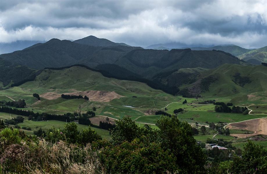
Experience stunning views and native bush on Te Arapiki o Tawhaki at Pukaha/Mount Bruce.
Elevation
Climb
173m
Drop
64m
Highest point
471m
Lowest point
319m
Move over the chart to read the height.
Forest Scrub
Longest open stretch
1.4km
Cover mapped summer 2023/24.
Description
Explore the lowland podocarp forest of Pukaha/Mount Bruce on this loop track.
Access to this track is only available via the Pūkaha National Wildlife Centre, and an entry fee is required.
Getting there
The Pūkaha National Wildlife Centre is located on SH2, 30 km north of Masterton and 10 km south of Eketahuna.
It takes about 2 hours to drive from Wellington and about 1 hour from Palmerston North.
Weather
Forecast at the start of the track