Tasman River tracks
Alerts
Avalanche NZ
Check Avalanche NZ for the full avalanche forecast before you go.
Sorry, we can't show Avalanche NZ forecasts or alerts on this site. Avalanche NZ doesn't permit it.
NIWA weather risks
NIWA's Parks Weather site lists daily weather risks for the forecast point below.
Sorry, we can't show NIWA weather or alerts on this site. NIWA doesn't permit paid apps to do this.
Forecast point: Aoraki/Mt Cook VC (770m) · 6.3km away
Check the DOC website for current alerts and conditions before you go. This site gets current alert info from DOC, but is not an official source of information.
Tasman River is a large braided river which flows into Lake Pukaki. There are walking and cycling tracks in the area.
Elevation
Cover mapped summer 2023/24.
Description
Tasman River Track
Track category: Tramping Track
Time: 3 hr
Distance: 10 km
This track starts at Jollie River car park and finishes at Tasman Point near Chop Creek. Large glacial erratics (boulders) and rocky bluffs provide interest. On a fine day you'll be rewarded with stunning views of the Southern Alps/Kā Tiritiri o Te Moana.
Horse riding
The track is suitable for horse riding although it's a lengthy drive along Hayman Road to tow a horse float to the start.
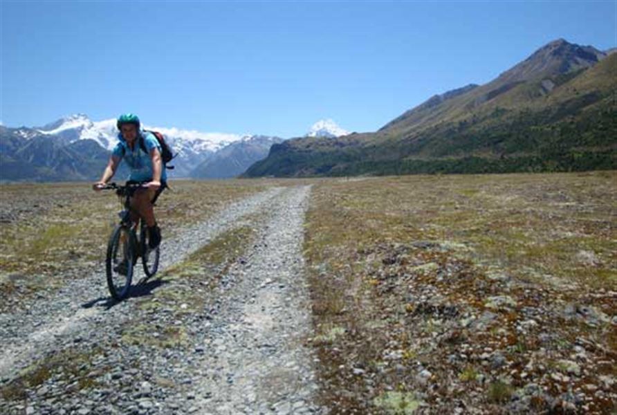
Mountain biking
Track category: Grade 2, Easy
Time: 2 hr
Distance: 10 km
The track is popular with cyclists as it's part of Alps 2 Ocean Cycle Trail.
This is a shared-use track. Follow the mountain bikers code: respect others, respect the rules, respect the track.
Jollie Hut
Track category: Tramping Track
Time: 2 hr
Distance: 3 km
There is a pull-over area on Braemar Mount Cook Station Road to start this track. The track is initially a public access easement through private farm land.
The area is popular with hunters looking for tahr, red deer or chamois further up the valley.
Getting there
Drive down Hayman Road which turns into Braemar Mount Cook Station Road. Drive carefully as the road is gravel and stock may be grazing on road verges.
Know before you go
Map: NZTopo50 BY15 Birch Hill, BY16 Mount Stevenson
Weather
Forecast at the start of the track