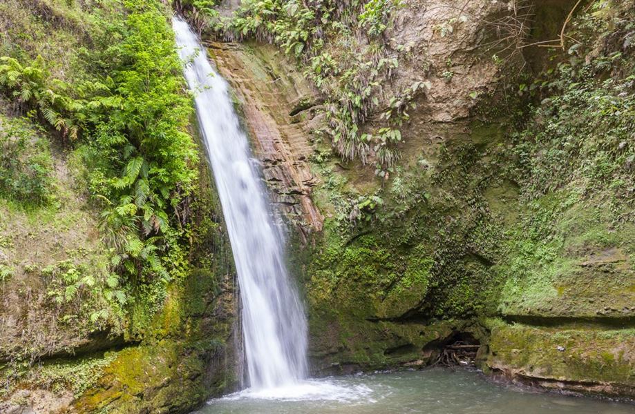
Tangoio Falls Scenic Reserve tracks
Alerts
Check the DOC website for current alerts and conditions before you go. This site gets current alert info from DOC, but is not an official source of information.
Discover Te Ana or Tangoio Falls on a short, easy walk suitable for kids, or take a longer walk through native bush on the Tangoio Walkway.
Elevation
Cover mapped summer 2023/24.
Description
Te Ana Falls
Time: 30 min return
Distance: 2 km
Tangoio Falls
Time: 60 min return
Distance: 4 km
The track follows Kareaara Stream from Tangoio Falls parking area to Te Ana Falls, where kids can enjoy a splash. Enjoy the native bush and watch for koura (freshwater crayfish) in the streams. Continue walking uphill for an additional 15 minutes to reach Tangoio Falls.
Tangoio Walkway
Time: 2 hr
Distance: 4.4 km
Tangoio Walkway can be accessed from the picnic / parking areas at either the southern end of Tangoio Falls Scenic Reserve or opposite White Pine Bush Scenic Reserve.
If starting at the White Pine car park, care needs to be taken when crossing SH 2 to the start of the track.
The walkway passes through native forest, open grassland and old and new pine plantations intermixed with redwoods and other species - look out for native orchid flowers in early summer. The track is steep in places and a stream crossing requires care after rain.
Walking the track from north to south is recommended as the going is nearly all downhill.
Getting there
Tangoio Falls Scenic Reserve is 27 km north of Napier on SH2.
Weather
Forecast at the start of the track