Taheke Waterfall Track
Alerts
Check the DOC website for current alerts and conditions before you go. This site gets current alert info from DOC, but is not an official source of information.
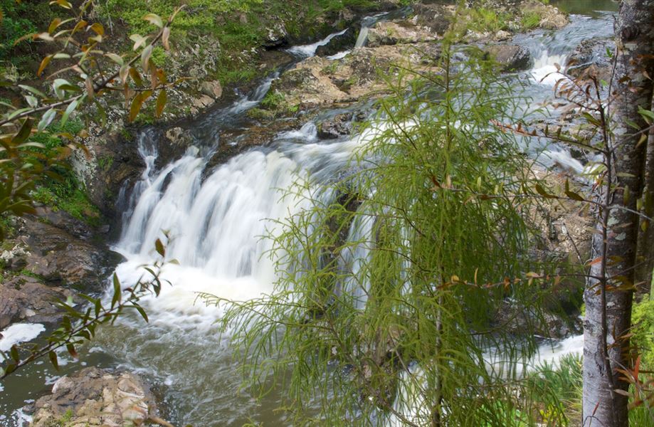
This lovely 3-km loop track leads through a grove of regenerating kauri and offers views of the Taheke Waterfall.
Elevation
Cover mapped summer 2023/24.
Description
The main track is a 3 km loop walk which takes you through areas of regenerating kauri forest. Branching off the track is a short detour to a viewing platform overlooking the Taheke Falls (no water access). From here there is an impressive view downstream over the Taheke Scenic Reserve.
Getting there
Located 14 km north east of Whangarei, turn off the Whareora-Pataua North Road, cross a bridge and turn left on to Hoban Road. Access to the Taheke Waterfall track is along a private road from the DOC carpark at the end of Hoban Road.
Know before you go
- The start of the track crosses the Taheke River at a concrete ford. Take care when crossing the ford as rocks may be slippery. Do not attempt to cross when the river is flooded.
- There are significant falls in this area. Stay on the marked track and supervise children.
- There may be wasps and wasp nests in the area.
Weather
Forecast at the start of the track