Sugarloaf/Rockburn Track
Alerts
Avalanche NZ
Check Avalanche NZ for the full avalanche forecast before you go.
Sorry, we can't show Avalanche NZ forecasts or alerts on this site. Avalanche NZ doesn't permit it.
NIWA weather risks
NIWA's Parks Weather site lists daily weather risks for the forecast point below.
Sorry, we can't show NIWA weather or alerts on this site. NIWA doesn't permit paid apps to do this.
Forecast point: Harris Saddle (1255m) · 8.2km away
Check the DOC website for current alerts and conditions before you go. This site gets current alert info from DOC, but is not an official source of information.
This marked track traverses moraine through beech forest from Lake Sylvan.
Elevation
Cover mapped summer 2023/24.
Sampled from the national 8m elevation model. No LiDAR survey covers this route yet.
Description
Time:
- 2–3 hr to Lake Sylvan-Rockburn shelter
- 6–8 hr Rockburn shelter to Routeburn car park
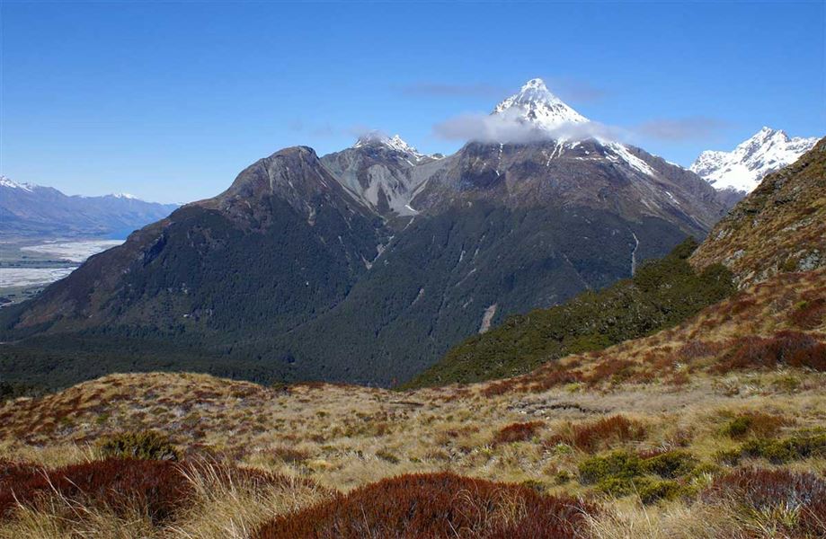
The marked track traverses moraine through beech forest from Lake Sylvan. The Rockburn shelter is nestled in the forest, with a chasm, river beaches and pools closeby. Climb through forest to the fragile Sugarloaf Saddle where there are great views of the Rockburn and Routeburn Valleys. The descent to the Routeburn Track is steep.
Getting there
You can start this walk at either end by starting at the Routeburn car park or from the Lake Sylvan track which connects to this track.
Weather
Forecast at the start of the track