Stockyard Cove Track
Alerts
Check the DOC website for current alerts and conditions before you go. This site gets current alert info from DOC, but is not an official source of information.
This is a pleasant, short walking track in Hope Arm on Lake Manapouri, leading to either West Beach or the waterfalls above the cove.
Elevation
Cover mapped summer 2023/24.
Description
Two tracks lead from the head of the cove.
The first heads west to West Beach where there are rewarding views of Lake Manapouri.
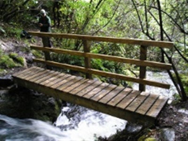
The second passes through ancient podocarp forest, climbing briefly until reaching the high bluff waterfalls and then descending through mountain beech forest to the lake edge. This track is also known as the Waterfall Track.
It is advisable to return to Stockyard Cove following the same track as the foreshore is rocky, slippery and parts of it can be underwater if the lake level is high.
Getting there
This track starts and finishes at Stockyard Cove at the western entrance to Hope Arm, on Lake Manapouri, Fiordland.
To get to the start of the track you can travel by boat or kayak.
To get to Manapouri from Te Anau (21 km, 20 minutes drive), follow the Manapouri - Te Anau Highway.
The wharf at Pearl Harbour is 500 m past the shops on Waiau St, and the carpark is accessed from View St (left turn south of shops).
Know before you go
Sandflies are plentiful so we recommend repellent!
Weather
Forecast at the start of the track