Stanley River Route
Alerts
NIWA weather risks
NIWA's Parks Weather site lists daily weather risks for the forecast point below.
Sorry, we can't show NIWA weather or alerts on this site. NIWA doesn't permit paid apps to do this.
Forecast point: Christopher Hut (803m) · 8.4km away
Check the DOC website for current alerts and conditions before you go. This site gets current alert info from DOC, but is not an official source of information.
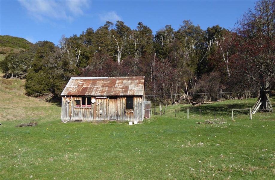
This marked route links Charlies Saddle to Stanley Vale Hut in the St James Conservation Area.
Elevation
Cover mapped summer 2023/24.
Description
This marked route links Charlies Saddle in the Edwards Valley to Stanley Vale Hut. It also links to the Fowlers Pass Track and the St James Cycle Trail.
The route follows the Stanley River and passes through an interesting geological area known as the Racecourse. There are several river crossings which can make travel difficult in times of high rainfall and during spring snowmelt.
Getting there
The eastern side of St James Conservation Area can be accessed from a number of points along Tophouse Road.
From Hanmer Springs take Clarence Valley Road over Jacks Pass to connect with Tophouse Road (about 13 km from Hanmer Springs). This road follows the eastern boundary of St James Conservation Area.
Weather
Forecast at the start of the track