Southern Access Corridor
Alerts
NIWA weather risks
NIWA's Parks Weather site lists daily weather risks for the forecast point below.
Sorry, we can't show NIWA weather or alerts on this site. NIWA doesn't permit paid apps to do this.
Forecast point: Knoll Ridge Café (2006m) · 15.8km away
Check the DOC website for current alerts and conditions before you go. This site gets current alert info from DOC, but is not an official source of information.
This route, bordering New Zealand Defence Force land, heads from the Desert Road through to the Otamateanui Stream and Rangitikei River confluence.
Elevation
Cover mapped summer 2023/24.
Description
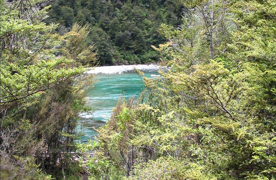
The route is poled as far as the bushline above Otamateanui Stream. A marked track descends through the beech forest steeply into Otamateanui Stream.
Note: Most of this route follows the army land boundary, so keep to this route for your own safety.
Getting there
42 km south of Tūrangi, near the Desert Road summit on SH1, a car park and signpost indicate the start of the access corridor.
Know before you go
This is a remote wilderness experience; when planning a trip in this area, read Kaimanawa Forest Park: know before you go.
Weather
Forecast at the start of the track