Smiths Stream Hut track
Alerts
NIWA weather risks
NIWA's Parks Weather site lists daily weather risks for the forecast point below.
Sorry, we can't show NIWA weather or alerts on this site. NIWA doesn't permit paid apps to do this.
Forecast point: Sunrise Hut (1280m) · 3.5km away
Check the DOC website for current alerts and conditions before you go. This site gets current alert info from DOC, but is not an official source of information.
This tramping track takes you from the North Block Road carpark to Smiths Stream Hut.
Elevation
Cover mapped summer 2023/24.
Description
This rugged track is suited for the more adventurous.
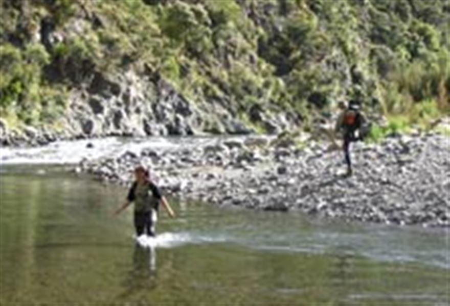
From the Sunrise carpark follow the track for 1.5 kilometres to the Waipawa River. Slightly upstream and on the southern side there is a signpost marking the start of the track, which follows the forest edge to the park boundary.
It passes through open regenerating scrub and forest to Middle Stream, then crosses the river and climbs steeply to a 1104 metres peak. The track then descends to Smiths Stream which is followed for 1 kilometre to reach the hut.
The hut is the best remaining example in Hawke’s Bay of the original Forest Service SF40 designed huts constructed in the 1960’s and 70’s throughout the country for deer cullers.
Getting there
The North Block Road end is the most popular starting point for visitors to the Eastern Ruahine.
- From State Highway 50, turn towards the Ranges onto Wakarara Road.
- After 20 km, turn left into North Block Road and continue to the road end.
- The last 4 km of this road is through private farmland – do not disturb stock and leave gates as you found them.
Know before you go
The last 4 km of this road is through private farmland. Do not disturb stock and leave gates as you found them. Dogs are not permitted.
North Block Road map (JPG, 224K)
Nearby
Weather
Forecast at the start of the track