Shirt Tail Track
Alerts
Check the DOC website for current alerts and conditions before you go. This site gets current alert info from DOC, but is not an official source of information.
A track climbing through beech forest following the Shirt Tail Stream in Kingston.
Elevation
Cover mapped summer 2023/24.
Description
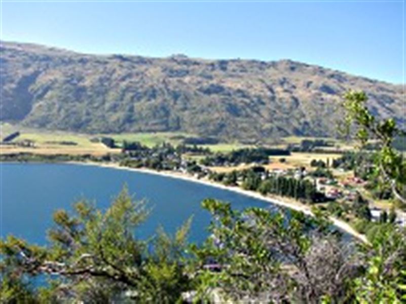
View from the Shirt Tail Track
The Shirt Tail Track starts at the Te Kere Haka reserve carpark. It follows the Shirt Tail Stream up to the bushline for a spectacular view of Lake Wakatipu and Kingston township.
The track up to the waterfall is well marked. Beyond here the track is very steep, unmarked and not maintained. It features red beech forest and subalpine shrublands.
This track is also known as Shirtfront Track.
Getting there
Kingston is 45 minutes drive from Queenstown. The Te Kere Haka Reserve is at the far end of the township past the railway station.
Weather
Forecast at the start of the track