Sentinel Rock Lookout Track
Alerts
NIWA weather risks
NIWA's Parks Weather site lists daily weather risks for the forecast point below.
Sorry, we can't show NIWA weather or alerts on this site. NIWA doesn't permit paid apps to do this.
Forecast point: Waitawheta Hut (380m) · 9.9km away
Check the DOC website for current alerts and conditions before you go. This site gets current alert info from DOC, but is not an official source of information.
A challenging climb to an isolated rock outcrop in the Kaimai Ranges that offers spectacular views across the valley.
Elevation
Cover mapped summer 2023/24.
Description
This track is signposted off the Tuahu Track at the Tuahu Kauri approximately 25 minutes from the car park.
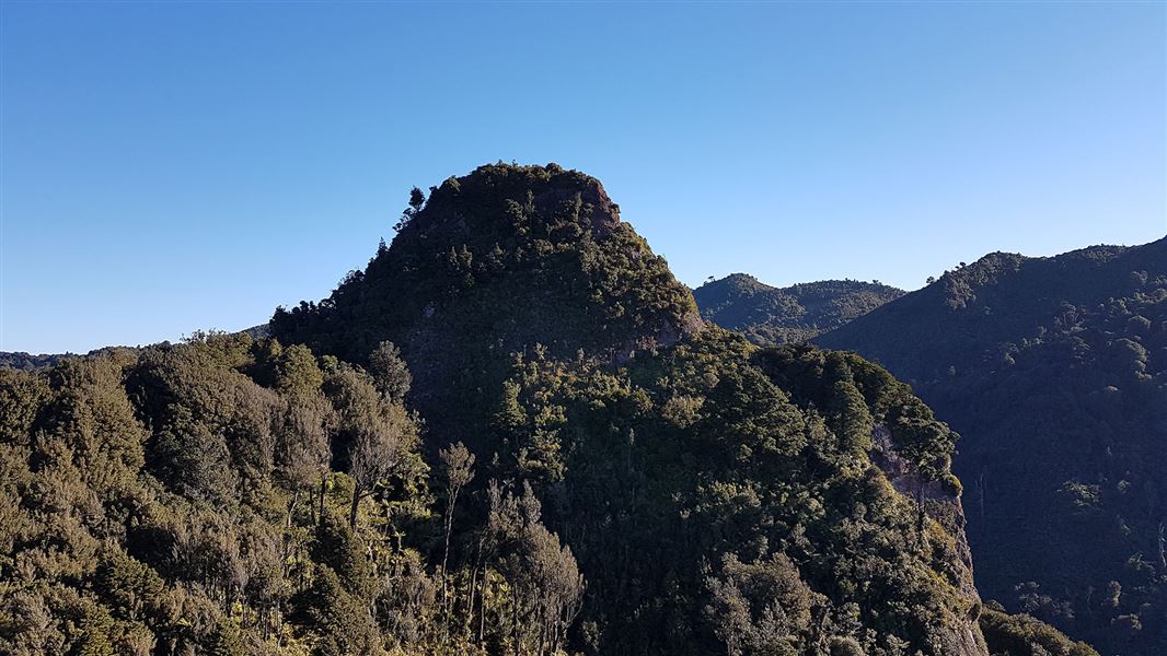
After a steep climb it travels along an undulating ridge to a view of Sentinel Rock, an isolated rock outcrop east of the Kaimai Range. The view of the surrounding valley is spectacular on a clear day.
The old track to the top of the rock is considered dangerous and should not be used.
Return on the same track.
Getting there
Located within the Kaimai Mamaku Forest Park, these walks begin at the end of Hot Springs Road, just south of Katikati off SH2.
Know before you go
Consult a topographic map.
Weather
Forecast at the start of the track