Scott Creek Track
Alerts
Avalanche NZ
Check Avalanche NZ for the full avalanche forecast before you go.
Sorry, we can't show Avalanche NZ forecasts or alerts on this site. Avalanche NZ doesn't permit it.
NIWA weather risks
NIWA's Parks Weather site lists daily weather risks for the forecast point below.
Sorry, we can't show NIWA weather or alerts on this site. NIWA doesn't permit paid apps to do this.
Forecast point: Harris Saddle (1255m) · 9.3km away
Check the DOC website for current alerts and conditions before you go. This site gets current alert info from DOC, but is not an official source of information.
This route is for experienced trampers. It is irregularly marked, steep and in parts obscure and washed out.
Elevation
Cover mapped summer 2023/24.
Sampled from the national 8m elevation model. No LiDAR survey covers this route yet.
Description
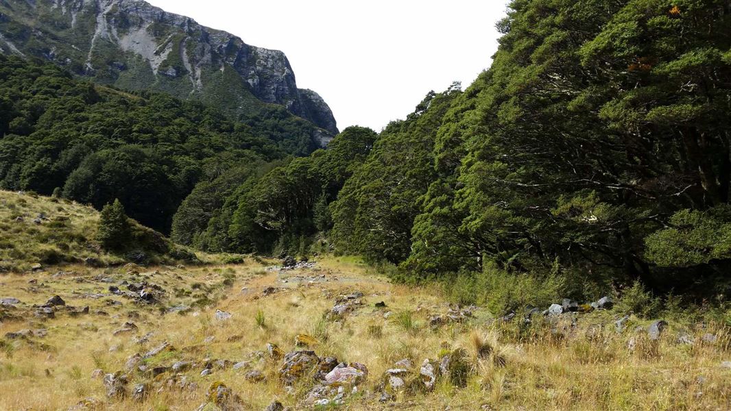
Follow this irregularly marked track through beech forest up to a basin. In some places, you must follow the creek bed.
The track finishes just above 1000 metres in altitude before getting to Scott Basin.
Getting there
The track is signposted near the Scott Creek bridge north of Glenorchy, along the Routeburn Road.
Know before you go
Warning: This track is irregularly marked, steep and in parts obscure and washed out. It requires river crossings, which can be dangerous during high rainfall. You can be bluffed out at the saddle in poor visibility.
Not recommended for children, route finding skills essential.
Please note that Scott Creek hut has been removed.
Kārearea swooping
A Kārearea/NZ falcon is reported to be swooping people walking this track.
Kārearea/NZ falcon defend their nests actively and may dive bomb people up to 400 m from their nest. We recommend that you keep away from nests or any areas where the birds are acting defensively.
Don’t try to strike a Kārearea/NZ falcon. You could injure it and place the Kārearea/NZ falcon chicks in danger.
Weather
Forecast at the start of the track