Ruapani Circuit Track
Alerts
NIWA weather risks
NIWA's Parks Weather site lists daily weather risks for the forecast point below.
Sorry, we can't show NIWA weather or alerts on this site. NIWA doesn't permit paid apps to do this.
Forecast point: Panekire Hut (1357m) · 10.7km away
Check the DOC website for current alerts and conditions before you go. This site gets current alert info from DOC, but is not an official source of information.
It will take you six hours of moderate to hard walking to complete the Ruapani Circuit. The track is accessed from the Waikareiti Track and passes through beautiful forest and seven wetlands.
Elevation
Cover mapped summer 2023/24.
Description
It will take you six hours of moderate to hard walking to complete the Ruapani Circuit. This description is in an anti-clockwise direction from the Waikareiti day shelter.
About half an hour beyond the Waikareiti day shelter, a left fork takes you onto the Ruapani Circuit Track, which passes several wetlands to exit onto the Lake Waikareiti Track again near the main road.
Distant views are rare but on the descent from Lake Ruapani, the final body of water, there is an enticing glimpse of Lake Waikaremoana, Panekire Bluff and Hawke's Bay in the distance.
Getting there
Start on the Lake Waikareiti Walk, which begins 200 m from the Āniwaniwa Visitor Centre on the road to Rotorua.
Know before you go
Take warm clothing, food, drink and a raincoat.
Nature and conservation
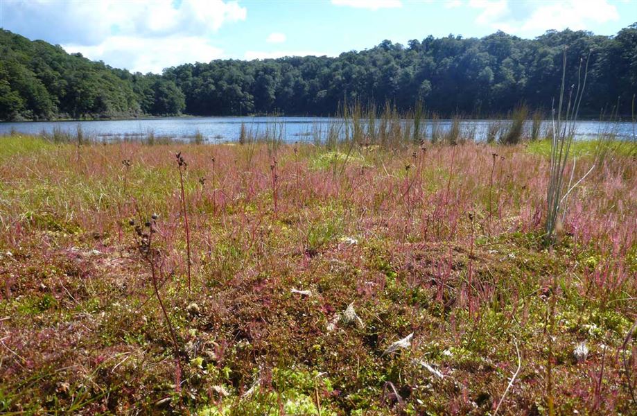
The forest is consistently beautiful on this track, especially the profusion of neinei (pineapple scrub, Dracopyhllum latifolium). Interesting plants grow around some of the lakelets, e.g. the insectivorous sundew, and New Zealand's tallest species of tree, the kahikatea.
Ruapani tarns
The Ruapani tarns are a stunning complex of seven unmodified high-altitude mires and bogs.
Local past geological events have created a landscape of humps and hollows in which the Ruapani Tarns sit.
Each wetland is different from the others and include open water, sedgelands, sphagnum moss and wire-rush-dominated bogs, herbfields and shrublands. Most are ephemeral with constantly fluctuating water levels.
Scaups/pāpango, grey ducks/pārera, Australian coots and little black shags may be seen.
Weather
Forecast at the start of the track