Ruakaka Pipeline Road Track
Alerts
Check the DOC website for current alerts and conditions before you go. This site gets current alert info from DOC, but is not an official source of information.
Ruakaka Pipeline Road Track is considered suitable for people of most fitness levels. The 3 km track provides back dune access to Bream Bay.
Elevation
Cover mapped summer 2023/24.
Description
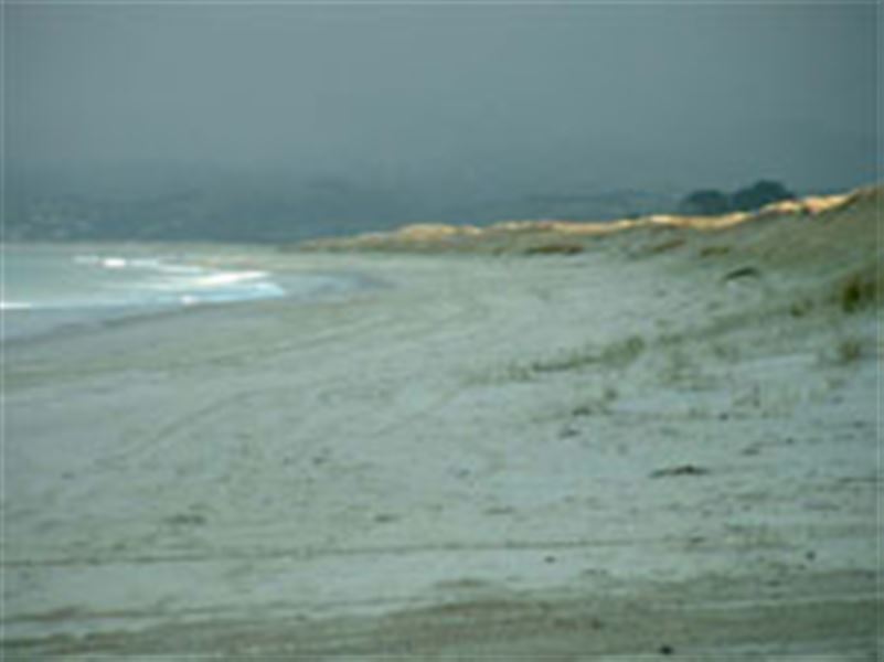
This is a long, well-formed track that follows the gas pipeline and provides useful back dune access to Bream Bay. You will enjoy idyllic views of the Bay. At many points on the track, you get access down to the beach and you can return to the point of departure by a different path.
This lovely track provides great opportunity for exercise and leisure walking.
Getting there
Ruakaka is located off SH1, 30 minutes drive south of Whangārei. You can access the track from the Mair Rd car park, next to the oil refinery. Walk south from there.
Know before you go
Water safety
If you plan to enjoy the water, learn how to stay safe when swimming, boating and fishing.
Bream Bay has strong currents and rips. If you wish to swim, we recommend swimming at the lifeguard patrolled section of the beach beside Ruakaka.
Check the water quality information to find out if it is suitable for swimming before you enter the water.
Be aware that crab fishing in Bream Bay is dangerous and several people have died doing it.
Weather
Forecast at the start of the track