Routeburn Nature Walk
Alerts
Avalanche NZ
Check Avalanche NZ for the full avalanche forecast before you go.
Sorry, we can't show Avalanche NZ forecasts or alerts on this site. Avalanche NZ doesn't permit it.
Check the DOC website for current alerts and conditions before you go. This site gets current alert info from DOC, but is not an official source of information.
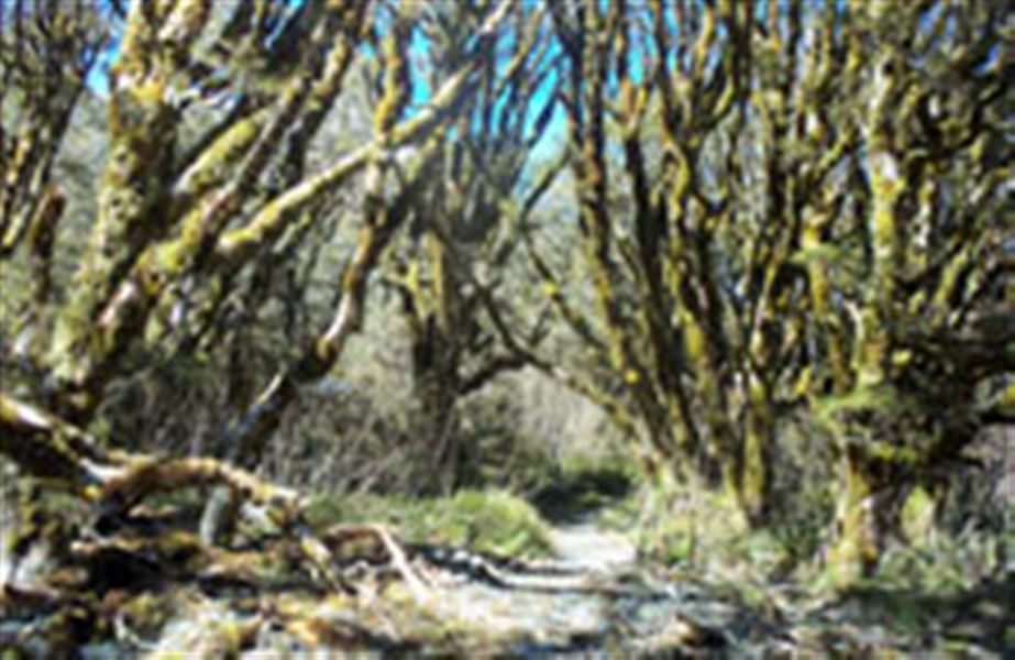
An easy going, well interpreted loop track ideal for a family walk. It passes through beech/tawhai forest and other vegetation, similar to what the famed Routeburn Track passes through.
Elevation
Cover mapped summer 2023/24.
Sampled from the national 8m elevation model. No LiDAR survey covers this route yet.
Description
From the Routeburn shelter carpark, cross the Route Burn on the swingbridge and follow the main Routeburn Track for approximately 10 - 15 minutes. A marked turnoff on the left takes a winding path down from the main track onto the valley floor, where you pass through beautiful red beech/tawhero dominated forest.
After meandering its way through this flat area for 10 - 15 minutes, the track rejoins the main Routeburn Track at Sugarloaf Stream. From here you can either carry on across the Sugarloaf swingbridge up the Routeburn Track, or turn back and follow the main track back to the carpark (20 - 30 minutes).
Getting there
The end of the Glenorchy-Routeburn Road, some 35 minutes from Glenorchy. This road is narrow through the forest and may not be suitable for large campervans. The last section of the road is gravel.
Weather
Forecast at the start of the track