DOC track
Rotoma Bridle Track
958m20 min one wayEasy
Alerts
Notice
Check the DOC website for current alerts and conditions before you go. This site gets current alert info from DOC, but is not an official source of information.
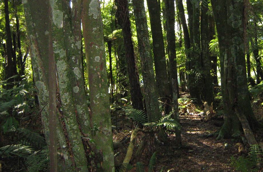
Walk through a magnificant stand of native bush.
Elevation
Climb
7m
Drop
0m
Highest point
320m
Lowest point
311m
Move over the chart to read the height.
Forest
Longest open stretch
None
Cover mapped summer 2023/24.
Description
This old bridle track passes through a magnificent stand of native bush, with towering rimu and tawa and an understory of leafy hīnau, pukatea, ferns and kohekohe.
The track runs parallel to SH30, from Manawahe Road to Whangaroa Bay on Lake Rotomā.
Getting there
The track is situated about 40 km north-east of Rotorua beside SH30. The most suitable parking is on Manawahe Road by the junction with SH30.
Know before you go
Water safety
If you plan to enjoy the water, learn how to stay safe when swimming, boating and fishing.
Weather
Forecast at the start of the track