Ratapihipihi Scenic Reserve walk
Alerts
Check the DOC website for current alerts and conditions before you go. This site gets current alert info from DOC, but is not an official source of information.
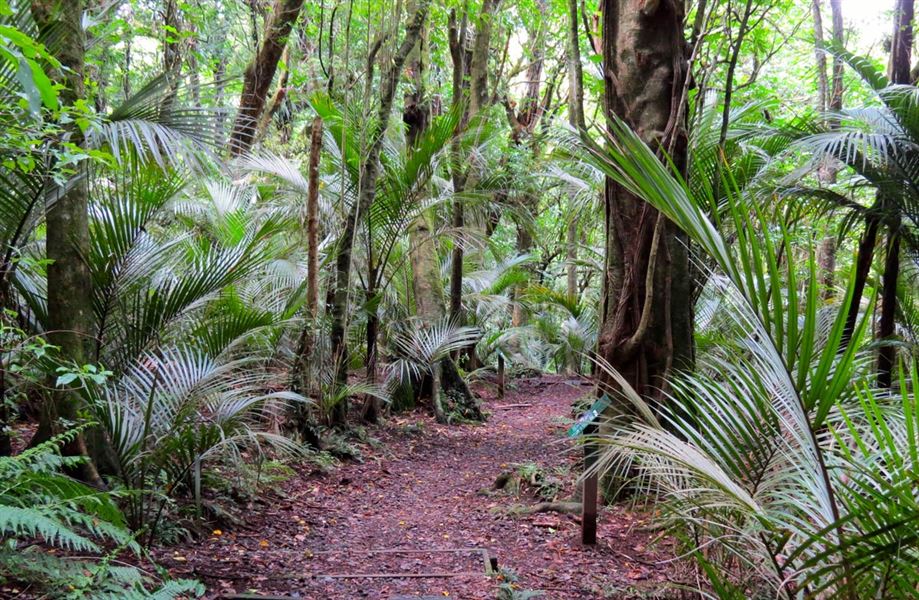
Walk through an outstanding example of a subtropical rain forest past a scenic waterfall on this well-graded short walk – with a picnic area at the car park it's a great option for families.
Elevation
Cover mapped summer 2023/24.
Description
The track passes through coastal forest and goes past a scenic waterfall. Look out for the two old saw pits beside the track, which are remnants of historical logging operations.
It's well graded but steep in places.
There is a large sheltered picnic area next to the car park.
Getting there
Ratapihipihi Scenic Reserve is 7.4 km south of New Plymouth. Follow Tukapa Street for 5 km, then turn into Cowling Road, then into Ratapihipihi Road.
Weather
Forecast at the start of the track