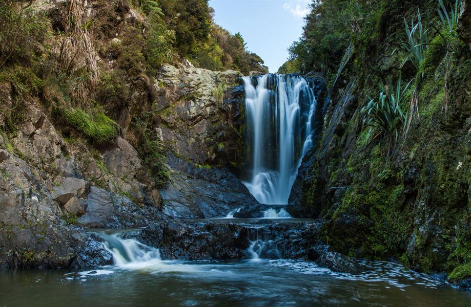
Piroa Falls Track
Alerts
Check the DOC website for current alerts and conditions before you go. This site gets current alert info from DOC, but is not an official source of information.
Follow a 200 m track across the Ahuroa River and on to the picturesque Piroa Falls.
Elevation
Cover mapped summer 2023/24.
Description
Bridge on the Piroa Falls Track
Image: Anh Nguyen
The track descends briefly down through bush into the gorge, there are a number of steps.
You cross the Ahuroa River on a concrete slab bridge with 'Rotary 1983' engraved on it (the track was built and upgraded courtesy of Maungaturoto Rotary Club). The bridge crossing is submerged during periods of high rainfall, do not attempt to cross when river is in flood.
A minute or two after crossing the bridge you arrive at the base of the picturesque Piroa Falls.
Getting there
Piroa Falls is located in the Waipū Gorge Scenic Reserve, signposted on SH1 at the foot of the northern side of the Brynderwyn Hills.
Follow Waipū Gorge Road for about 6 km until you reach the car park and track indicated by a DOC sign. Parking is limited on the narrow unsealed road, care should be taken here.
Know before you go
The bridge crossing is submerged during periods of high rainfall, do not attempt to cross when river is in flood.
The track can be slippery and muddy.
Weather
Forecast at the start of the track