Pearl Harbour to Hope Arm Track
Alerts
Check the DOC website for current alerts and conditions before you go. This site gets current alert info from DOC, but is not an official source of information.
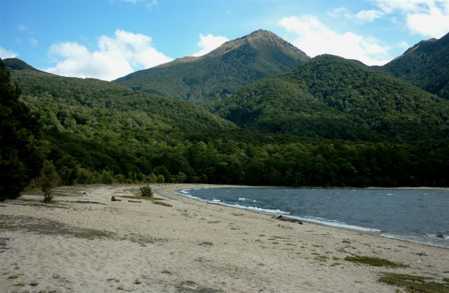
The track leads through beech forest to a very pleasant bay on Lake Manapouri, with a great swimming spot and hut.
Elevation
Cover mapped summer 2023/24.
Description
From the jetty on the other side of the Waiau River, follow the track for 15 minutes. Bypass the Circle Track sign on the left - carry on straight ahead.
The track follows close to the lake edge a few times and there are some unofficial tracks that lead to the lake itself.
From here the track climbs gently to the spur where the Circle Track rejoins the main track.
Continue straight ahead again until reaching the Back Valley/Hope Arm Hut junction.
Turn right for Hope Arm and proceed through a narrow neck of forest on boardwalk over swampland.
Cross the bridge over the Garnock Burn and shortly you will reach Hope Arm beach which is good for swimming. Hope Arm Hut is at the far end of the beach for shelter or overnight stays.
Hope Arm to Garnock Burn, 3 - 3.5 hr one way (4.5 km)
Behind the Hope Arm hut the track climbs steadily alongside a small stream to a peat swamp, then towards the Snow White tussock clearings in the upper Garnock Burn valley where there is good camping.
The area provides good hunting and pleasant tramping. Mt. Titiroa can be reached from the Snow White clearings (for details see Moirs Guide South below).
Hope Arm Hut to Back Valley Hut, 1 - 1.5 hr one way
This tramping track allows side trips from either hut, or loop track options.
Getting there
This track starts and finishes at Pearl Harbour, Manapouri, Fiordland.
To get to the start of the track you need to cross the Waiau River. There are water taxis available in the summer season. For options contact: Adventure Manapouri or Fiordland Outdoors Company.
To get to Manapouri from Te Anau (21 km, 20 minutes drive), follow the Manapouri - Te Anau Highway SH95.
The wharf at Pearl Harbour is 500 m past the shops on Waiau St, and the carpark is accessed from View St (left turn south of shops).
Know before you go
From Hope Arm to Garnock Burn and beyond is a route so you will need above average fitness and high level backcountry (remote areas) skills and experience, including navigation and survival skills.
Nearby
Weather
Forecast at the start of the track