DOC track
Patutu Route
4.8km4 hr 30 min one wayExpert
Alerts
Notice
Check the DOC website for current alerts and conditions before you go. This site gets current alert info from DOC, but is not an official source of information.
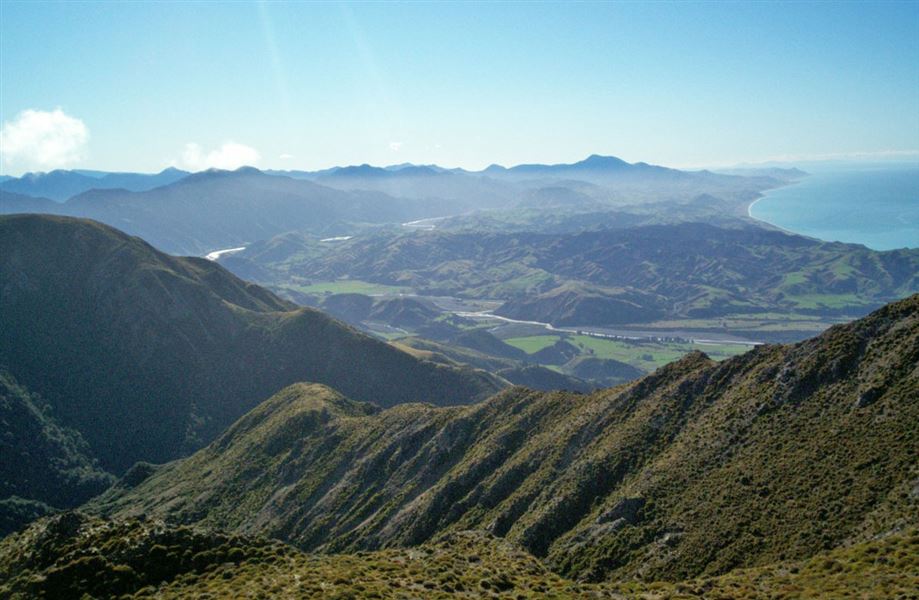
Climb to the summit of Patutu (1162 m) for great views of the coast and the North Island.
Elevation
Climb
1,045m
Drop
56m
Highest point
1,166m
Lowest point
129m
Move over the chart to read the height.
Scrub Open
Longest open stretch
4.8km
Cover mapped summer 2023/24.
Description
There is a great view of the coast and North Island from the summit of Mount Patutu (1162 m).
The first 3 hours follows an old farm track; the remaining 1 hour is a fairly steep climb to the summit.
Allow a full day for the return trip.
Getting there
The track starts at the Okiwi Bay Campsite, off SH1, 30 km north of Kaikoura.
Weather
Forecast at the start of the track