Pataua Island Track
Alerts
Check the DOC website for current alerts and conditions before you go. This site gets current alert info from DOC, but is not an official source of information.
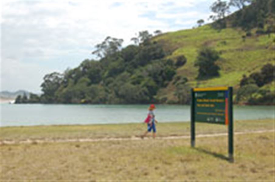
Pataua Island Track is a short access track that skirts the Pataua Estuary and leads you to a lovely beach.
Elevation
Cover mapped summer 2023/24.
Description
This is just a short access track that takes you to a lovely beach, and skirts the Pataua estuary.
The track is almost flat and easy, but there is no wheelchair access.
Pataua is a very popular beach that offers safe swimming in the estuary and the ocean side.
Getting there
The Pataua South community is a 45-minute drive east of Whangārei. Pataua South road is off the Whangārei Heads Road. The car park is located down Mahanga Road.
Know before you go
There are no public toilets at the DOC carpark accessing the Pataua Island Track. There are council maintained toilets near the footbridge at the end of Pataua South Rd.
A rāhui (cultural closure) has been placed on the pā and fenced off back dune area at Pataua south. Visitors should not use Pataua pā as a recreational site.
The site is a culturally significant landmark to the local tangata whenua and is considered wāhi tapū (sacred and subject to restriction).
Weather
Forecast at the start of the track