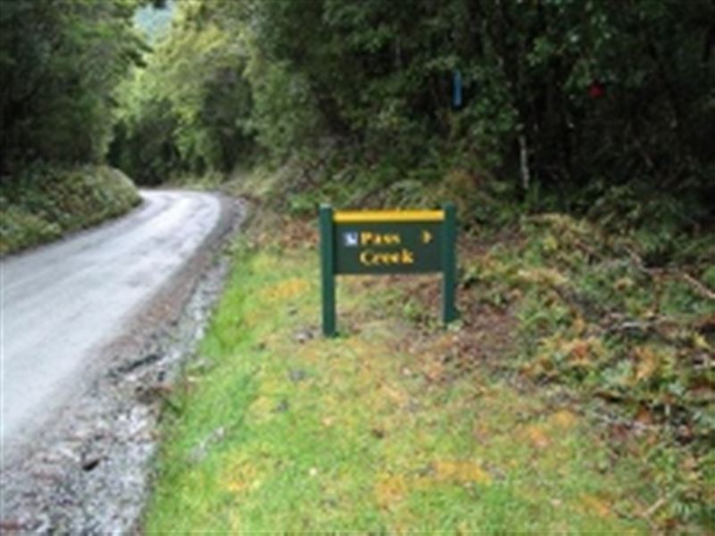
Pass Creek Track
Alerts
Avalanche NZ
Check Avalanche NZ for the full avalanche forecast before you go.
Sorry, we can't show Avalanche NZ forecasts or alerts on this site. Avalanche NZ doesn't permit it.
NIWA weather risks
NIWA's Parks Weather site lists daily weather risks for the forecast point below.
Sorry, we can't show NIWA weather or alerts on this site. NIWA doesn't permit paid apps to do this.
Forecast point: Harris Saddle (1255m) · 8.3km away
Check the DOC website for current alerts and conditions before you go. This site gets current alert info from DOC, but is not an official source of information.
This difficult tramping track leads from the Hollyford Road up to Lake Howden on the Routeburn Track.
Elevation
Cover mapped summer 2023/24.
Description
This is a difficult tramping track.
From the Hollyford Road, follow the track that climbs steadily up hill to Lake Howden through the bush. This is the old cattle track linking the Hollyford and Greenstone valleys.
Getting there
The track begins from the lower Hollyford Road, 400m from where the road meets the Pass Creek, a few minutes drive from the start of the Hollyford Road.
To find the Hollyford Road, turn off from the Milford Road (SH94) at Marian Corner, a few minutes towards Milford Sound from The Divide.
Marian Corner is about 87 km along the Milford Road from Te Anau.
Know before you go
This is a tramping track so you will need good fitness and moderate to high level backcountry (remote areas) skills and experience, including navigation and survival skills.
Note: If you plan to stay at huts or campsites along the Routeburn Track, bookings are required.
Weather
Forecast at the start of the track