Paengaroa Scenic Reserve Walk
Alerts
Check the DOC website for current alerts and conditions before you go. This site gets current alert info from DOC, but is not an official source of information.
Take a short stroll to a picnic spot in this reserve renowned for its unique and rare and endangered flora.
Elevation
Cover mapped summer 2023/24.
Sampled from the national 8m elevation model. No LiDAR survey covers this route yet.
Description
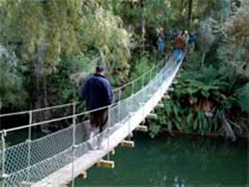
From the carpark a short track heads down to a delightful bridge across the Hautapu River. From here a short walk takes you to a large clearing suitable for picnicking. A small stretch of boardwalk crosses an area that can be wet and swampy during winter.
Getting there
Paengaroa Scenic Reserve is situated near the village of Mataroa. Turn west off State Highway 1 three kilometres north of Taihape. Just before reaching Mataroa School turn right and cross the railway bridge and straight ahead lies the carpark.
Weather
Forecast at the start of the track