Opua Kauri Walk
Alerts
Check the DOC website for current alerts and conditions before you go. This site gets current alert info from DOC, but is not an official source of information.
A pleasant walk through regenerating forest to a lookout with stunning views over a valley that is home to kauri trees.
Elevation
Cover mapped summer 2023/24.
Description
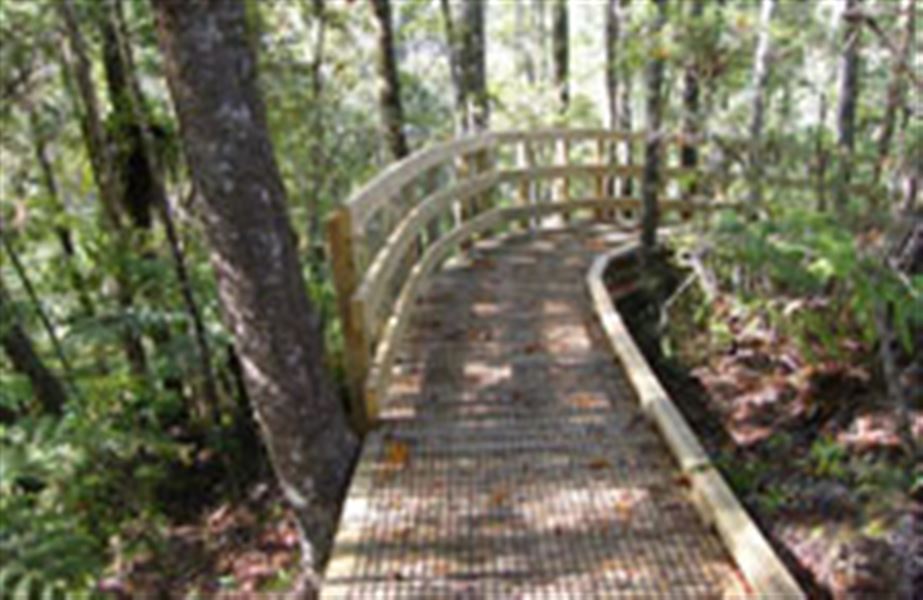
Boardwalk on Opua Kauri Walk
Image: DOC
This is a short but delightful stroll, partly on boardwalk through groves of kauri to an elevated lookout platform and bench seat. Once at the lookout you will be surrounded by kauri trees of different ages – from young rickers up to 25 years old to more mature trees of about 400 years in age.
If you want to walk for a further two hours, return to Oromahoe Road, turn right towards SH11 for 800 m and take the Oromahoe Traverse. This track will take you eventually to School Road in Paihia. Along the way the Oromahoe Traverse joins the Paihia School Road Track.
Once at the Paihia School Road Track you will have stunning views to Waitangi, across Motumairie (one of the islands off Paihia) to Russell then over the Russell Peninsula to Cape Brett and Ipipiri, the eastern Bay of Islands.
Getting there
You can start the Opua Kauri Walk on Oromahoe Road, Opua. The track starts approximately 4 km from SH11 near the Opua township.
Know before you go
Carry warm, waterproof clothing, and food and drink, even on short walks. Stout shoes or walking boots are advisable.
Weather
Forecast at the start of the track