Opapaka Pā Walk
Alerts
Check the DOC website for current alerts and conditions before you go. This site gets current alert info from DOC, but is not an official source of information.
Opapaka Pā Walk is closed due to a large slip.
Elevation
Cover mapped summer 2023/24.
Description
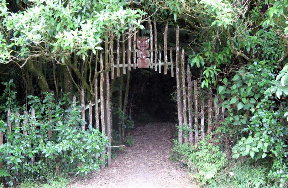
This walk takes you up through native forest to a fence line, with plant identification labels along the way.
Cross a stile onto farmland and then up a steep track to the pā site. Keep to the fence line and be mindful of stock that may be in the paddock. The farm track may be slippery if wet.
Getting there
The site is located between Te Kuiti and Otorohanga off SH3. Take the Waitomo turnoff onto SH37. The track begins at the car park which is about 2 km before the Waitomo Caves.
Know before you go
- Keep to the fence line and be mindful of stock that may be in the paddock.
- The farm track may be slippery if wet.
History and culture
The pā was occupied by Ngāti Hia in the 1700s and was the site of a notable battle between Ngāti Hia and a war party led by Tanetinorau. Defence structures (trenches) and kūmara pits are evident at the pā site.
The steep slopes around the pā were a natural defence against raiding parties. Ditches were dug across the access ridges and wooden palisades surrounded the interior living area. Though diminished over time, it is not hard to imagine the impressive fortifications that once stood here and reflect on the battle that took place between Ngāti Hia and Tanetinorau.
The dry soil of the pāwas also a good place to store kūmara and tubers in winter. The kūmara pits were on the lower slopes and had timber and earth roofs. They were outside the main defences and only lightly fortified.
From the site there are fantastic views over the area, including other Maori fortifications, the mountain ranges of Rangitoto, and more distant Ruapehu.
On the highest part of the ridge is the pā site where a panel outlines its history.
Weather
Forecast at the start of the track