Old Māori Trail
Alerts
Check the DOC website for current alerts and conditions before you go. This site gets current alert info from DOC, but is not an official source of information.
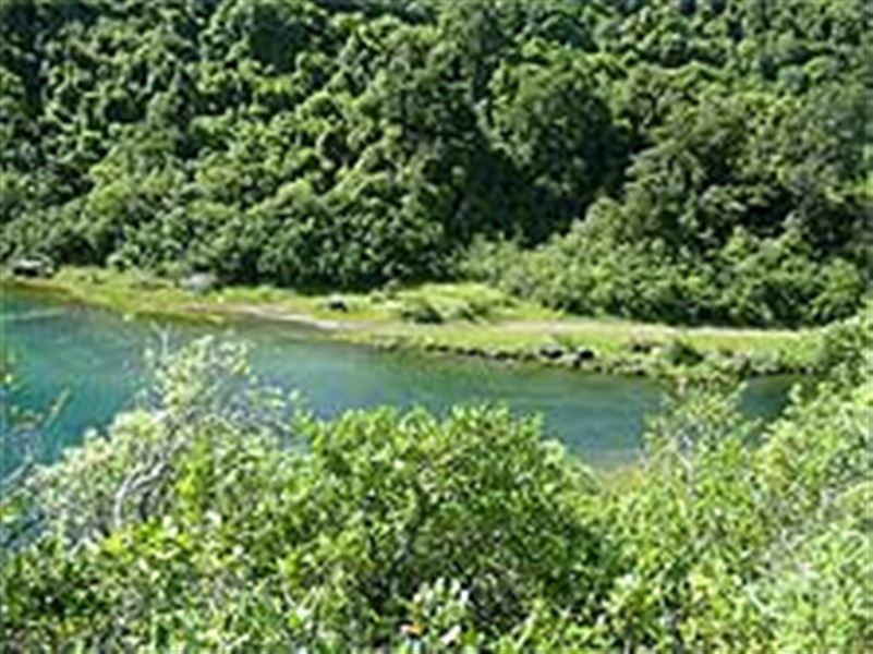
The Old Māori Trail is also know as the Rosie Bay - Lake Kaitawa Track and follows what was once a Māori trail to the lake.
Elevation
Cover mapped summer 2023/24.
Description
Starting at Rosie Bay, the track follows what was a traditional Māori route to Lake Kaitawa. It follows a valley which arcs around the trailing edge of the landslide block which slid from Ngamoko – see Lou’s Lookout description in Lake Waikaremoana area short walks.
It features grassy clearings and some beautifully formed totara and matai trees.
After passing through dense bush the track descends gradually to Lake Kaitawa.
Getting there
Lake Waikaremoana is located in Te Urewera on the East Coast of the North Island of New Zealand.
Nearby
Weather
Forecast at the start of the track