Nikau Flat and Kotepato Tracks
Alerts
Check the DOC website for current alerts and conditions before you go. This site gets current alert info from DOC, but is not an official source of information.
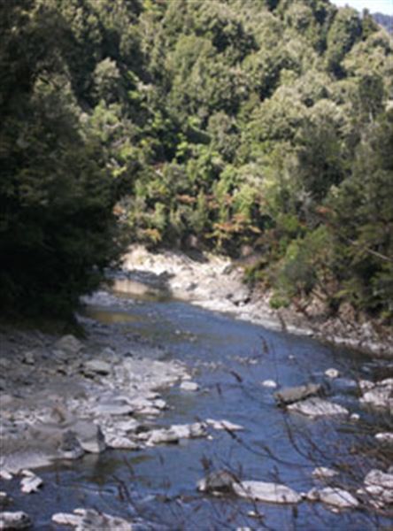
These two scenic tracks offer excellent opportunity for trout fishing and hunting. The Nikau Flat Track follows alongside the Waioweka River and the Kotepato Track follows alongside the Te Pato Stream.
Elevation
Cover mapped summer 2023/24.
Description
These two tracks are accessed through private land. Both tracks follow rivers giving a scenic experience through native bush. There are good swimming holes alongside the Nikau Flat Track and great fishing so take your time and enjoy. The gradient for the majority of these tracks is mostly easy but a good level of fitness is required for adults and children.
Redpath Road end to Kotepato Hut
Time: 2 to 3 hours one way
Follow the farm track to bush edge where you will cross the Waioeka River. From here the track follows the Te Pato upstream taking about 30 mins to reach the Kotepato Hut.
Redpath Road end to Nikau Flat Hut
Time: 3 to 4 hours one way
Follow the farm track to the bush edge then a well benched track follows the Waioeka River on the true left finishing at the Nikau Flat Hut on a grassy river flat.
Backcountry experience required.
Nikau Flat Hut to Kotepato Hut
Time: 2 to 3 hours
From Nikau Flat Hut, continue north along the Waioeka River. About 1.5 hr north of the hut there is a track to the east that takes you on a 1 km detour up Te Pato Stream to Kotepato Hut.
Kotepato Hut to Wairata Road end
Time: 1 to 2 hours
From Kotepato Hut return to the Waioeka River and head downstream. The track turns into a 4WD road and reaches Redpath Road after 4 km.
Getting there
Travel halfway (42 km) through the Waioeka Gorge on SH2 from Opotiki. Turn into Wairata Rd and travel for 2 km before turning right and crossing a bridge onto Redpath Rd. Continue down Redpath Rd until you reach the stockyards at the road end. Park in the designated area.
You will walk 1 - 2 hours across private farmland on a farm track before reaching the bush where signage will direct you to either tracks.
Nearby
Weather
Forecast at the start of the track